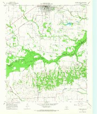
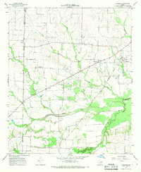
1964 Map of Cooper South
USGS Topo · Published 1968About this map
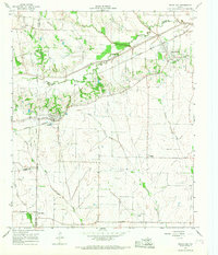
The South Sulphur River cuts a wide, wooded swathe across this mid-1960s landscape, marking the natural boundary between Delta and Hopkins counties. To the north, the town of Cooper serves as the regional hub, characterized by a grid of streets, the City Cem, and the prominent Southern Pacific railroad line. The surrounding countryside is dotted with small rural communities and family-named landmarks like Liberty Grove, Klondike, and Harpers Hill, connected by a network of unimproved roads and river crossings such as Deep Well Crossing and Harpers Crossing.
Find a feature on this map
36 named features on this map. Tap any name to fly to it.
Don’t see what you’re looking for? This feature index may not catch every label — zoom into the map to look around manually.
Map Details
Editions of this 1964 Cooper South Map
This is the sole edition of this map. No revisions or reprints were ever made.
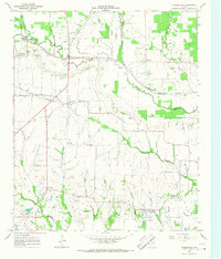
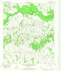
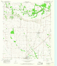
Other maps of this area

1953 · Texarkana
USGS Topo · 1:250,000

1956 · Texarkana
USGS Topo · 1:250,000
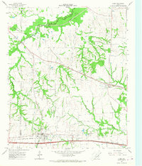
1964 · Cumby
USGS Topo · 1:24,000
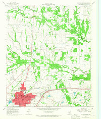
1964 · Sulphur Springs
USGS Topo · 1:24,000
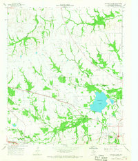
1964 · Gafford Chapel
USGS Topo · 1:24,000
1964 · Klondike
USGS Topo · 1:24,000
1964 · Charleston
USGS Topo · 1:24,000
1964 · Tira
USGS Topo · 1:24,000
1964 · Cooper North
USGS Topo · 1:24,000
1964 · Pecan Gap
USGS Topo · 1:24,000