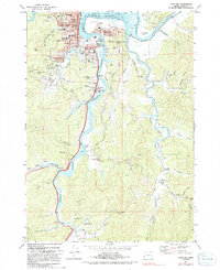
1971 Map of Coos Bay
USGS Topo · Published 1991About this map
Coos Bay and its complex waterfront dominate this early 1970s survey, illustrating a landscape defined by timber, maritime trade, and resource extraction. The city center is densely detailed, featuring prominent landmarks like the Armory, Hospital, and Marshfield High Sch, while the surrounding neighborhoods of Eastside, Bunker Hill, and Englewood show the established residential footprint of the era. Southward, the map follows the winding courses of Isthmus Slough and Catching Slough, revealing the area's industrial roots through the Libby Mine and Southport Mine. The presence of numerous family and community landmarks, such as the Sumner Pioneer Cem and Archer Cem, provides a detailed record for genealogists. The intricate network of waterways like Shinglehouse Slough and Davis Slough highlights the navigational challenges and logistical importance of the estuary system before significant modern shoreline modifications.
Find a feature on this map
93 named features on this map. Tap any name to fly to it.
Don’t see what you’re looking for? This feature index may not catch every label — zoom into the map to look around manually.
Map Details
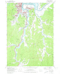
Editions of this 1971 Coos Bay Map
2 editions found
Other maps of this area

1896 · Coos Bay
USGS Topo · 1:125,000

1898 · Coos Bay
USGS Topo · 1:125,000

1900 · Coos Bay
USGS Topo · 1:125,000

1942 · Empire
USGS Topo · 1:62,500

1942 · Coquille
USGS Topo · 1:62,500

1942 · Coos Bay
USGS Topo · 1:62,500

1943 · Bandon
USGS Topo · 1:62,500

1944 · Empire
USGS Topo · 1:62,500

1944 · Bandon
USGS Topo · 1:62,500

1945 · Coquille
USGS Topo · 1:62,500