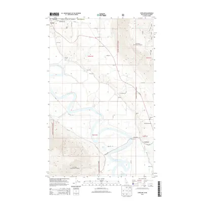
2013 Map of Copeland
USGS Topo · Published 2013About this map
The Kootenai River snakes through the valley floor, defining the landscape of the Idaho panhandle and the international border. Near the northern boundary, the settlement of Porthill sits at the edge of Kanisku National Forest, while further south, the historic crossing at Copeland Ferry remains a central landmark. The area is characterized by numerous railway spurs that once facilitated local transport and timber activity, including Seelovers Spur, Edwards Spur, and KV Farm Spur.
Find a feature on this map
53 named features on this map. Tap any name to fly to it.
Don’t see what you’re looking for? This feature index may not catch every label — zoom into the map to look around manually.
Map Details
Editions of this 2013 Copeland Map
This is the sole edition of this map. No revisions or reprints were ever made.
Other maps of this area

1911 · Priest Lake
USGS Topo · 1:250,000

1913 · Priest Lake
USGS Topo · 1:250,000

1958 · Sandpoint
USGS Topo · 1:250,000

1963 · Sandpoint
USGS Topo · 1:250,000

1965 · Farnham Peak
USGS Topo · 1:24,000

1965 · Ritz
USGS Topo · 1:24,000

1965 · Copeland
USGS Topo · 1:24,000

1965 · Hall Mountain
USGS Topo · 1:24,000

1968 · Smith Falls
USGS Topo · 1:24,000

1969 · Pyramid Peak
USGS Topo · 1:24,000