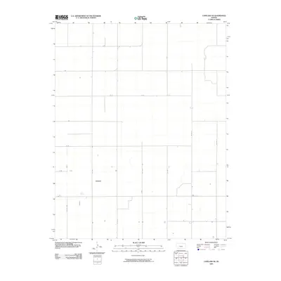
2009 Map of Copeland NE
USGS Topo · Published 2009About this map
Agricultural land divisions define the landscape of Gray County in this 21st-century record. The area is marked by a strict geometric grid of section lines and rural thoroughfares that facilitate the region's farming economy. Key north-south routes like Co Rd 3, Co Rd 4, and Co Rd 9 intersect with east-west corridors including T Rd, V Rd, and X Rd. This survey shows the infrastructure of the High Plains, where the terrain is punctuated only by scattered farmsteads and small water catchments. The systematic naming of these roads provides a clear framework for researchers mapping out specific parcels of land or tracing family farm locations within the Copeland NE quadrangle.
Find a feature on this map
13 named features on this map. Tap any name to fly to it.
Don’t see what you’re looking for? This feature index may not catch every label — zoom into the map to look around manually.
Map Details
Editions of this 2009 Copeland NE Map
This is the sole edition of this map. No revisions or reprints were ever made.
Other maps of this area

1892 · Dodge
USGS Topo · 1:125,000

1896 · Garden
USGS Topo · 1:125,000

1955 · Dodge City
USGS Topo · 1:250,000

1958 · Dodge City
USGS Topo · 1:250,000

1959 · Dodge City
USGS Topo · 1:250,000

1967 · Pierceville SW
USGS Topo · 1:24,000

1968 · Montezuma
USGS Topo · 1:24,000

1968 · Ingalls
USGS Topo · 1:24,000

1968 · Montezuma NW
USGS Topo · 1:24,000
1968 · Charleston
USGS Topo · 1:24,000