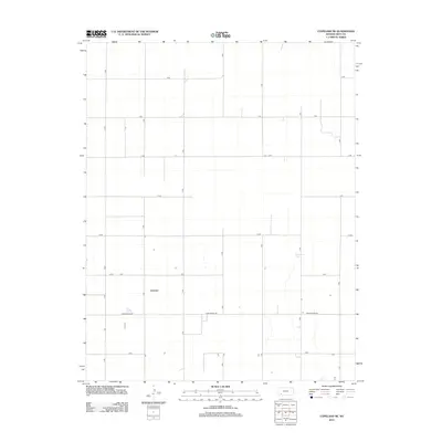
2012 Map of Copeland NE
USGS Topo · Published 2012About this map
Wild Horse Lake sits in the southeastern quadrant of this agricultural landscape in Gray County, serving as a primary natural landmark amidst a strictly organized grid of rural corridors. The land is defined by its rectilinear survey pattern, with roads named alphabetically and numerically to facilitate navigation across the high plains. Major thoroughfares such as Ford Ensign Rd and Z Rd cut across the territory, reflecting the systematic settlement and land management of western Kansas. Sparse development is concentrated along these transit lines, where isolated farmsteads and rural structures are positioned within the expansive geometric blocks of the regional road network including T Rd and U Rd.
Find a feature on this map
16 named features on this map. Tap any name to fly to it.
Don’t see what you’re looking for? This feature index may not catch every label — zoom into the map to look around manually.
Map Details
Editions of this 2012 Copeland NE Map
This is the sole edition of this map. No revisions or reprints were ever made.
Other maps of this area

1892 · Dodge
USGS Topo · 1:125,000

1896 · Garden
USGS Topo · 1:125,000

1955 · Dodge City
USGS Topo · 1:250,000

1958 · Dodge City
USGS Topo · 1:250,000

1959 · Dodge City
USGS Topo · 1:250,000

1967 · Pierceville SW
USGS Topo · 1:24,000

1968 · Montezuma
USGS Topo · 1:24,000

1968 · Ingalls
USGS Topo · 1:24,000

1968 · Montezuma NW
USGS Topo · 1:24,000
1968 · Charleston
USGS Topo · 1:24,000