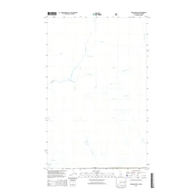
2013 Map of Copeland OE N
USGS Topo · Published 2013About this map
The Goat River flows southward through this drainage basin just north of the international boundary, defining a landscape shaped by numerous mountain tributaries. In the early 21st century, this area remains a complex network of waterways, where larger streams like Sullivan Cr and Nunika Cr feed into the main river channel. The map reveals a specific hydrographic pattern where west-flowing creeks such as Orde Cr and Lister Cr meet the primary drainage, while southern features like Rykerts Lake sit near the edge of the Canada border. The orientation of family-named watercourses, including Rodgers Cr and Huscroft Cr, suggests the historical paths of early resource exploration and local land use in the Kootenay region.
Find a feature on this map
18 named features on this map. Tap any name to fly to it.
Don’t see what you’re looking for? This feature index may not catch every label — zoom into the map to look around manually.
Map Details
Editions of this 2013 Copeland OE N Map
This is the sole edition of this map. No revisions or reprints were ever made.
Other maps of this area

1911 · Priest Lake
USGS Topo · 1:250,000

1913 · Priest Lake
USGS Topo · 1:250,000

1958 · Sandpoint
USGS Topo · 1:250,000

1963 · Sandpoint
USGS Topo · 1:250,000

1965 · Copeland
USGS Topo · 1:24,000

1965 · Hall Mountain
USGS Topo · 1:24,000

1968 · Smith Falls
USGS Topo · 1:24,000
1983 · Bonners Ferry
USGS Topo · 1:100,000
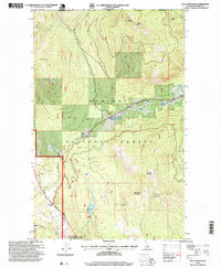
1996 · Hall Mountain
USGS Topo · 1:24,000
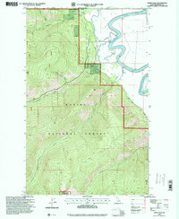
1996 · Smith Falls
USGS Topo · 1:24,000