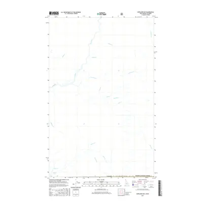
2017 Map of Copeland OE N
USGS Topo · Published 2017About this map
The Goat River carves a path through this borderland region where the southern edge of British Columbia meets the northern boundary of the Kaniksu National Forest. This remote landscape is defined by its intricate drainage network, with numerous named tributaries such as Sullivan Cr, Nunika Cr, and Dodds Cr feeding the river system. The presence of Rykerts Lake and Mission Cr near the international border line highlights the area's strategic location for transit and resource management between Idaho and Canada.
Find a feature on this map
18 named features on this map. Tap any name to fly to it.
Don’t see what you’re looking for? This feature index may not catch every label — zoom into the map to look around manually.
Map Details
Editions of this 2017 Copeland OE N Map
This is the sole edition of this map. No revisions or reprints were ever made.
Other maps of this area

1911 · Priest Lake
USGS Topo · 1:250,000

1913 · Priest Lake
USGS Topo · 1:250,000

1958 · Sandpoint
USGS Topo · 1:250,000

1963 · Sandpoint
USGS Topo · 1:250,000

1965 · Copeland
USGS Topo · 1:24,000

1965 · Hall Mountain
USGS Topo · 1:24,000

1968 · Smith Falls
USGS Topo · 1:24,000
1983 · Bonners Ferry
USGS Topo · 1:100,000
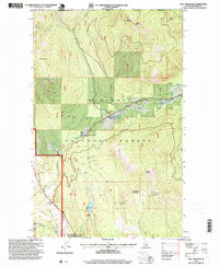
1996 · Hall Mountain
USGS Topo · 1:24,000
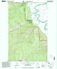
1996 · Smith Falls
USGS Topo · 1:24,000