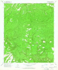
1964 Map of Copper Mtn
USGS Topo · Published 1965About this map
Sierra Ancha dominates this mid-century landscape within the Tonto National Forest, defined by a rugged system of canyons and high mesas. The mapping reveals a specialized ranching economy dependent on high-elevation water management, indicated by numerous scattered livestock catchments such as McBride Tank, Pine Flat Tank, and Big Turkey Tank. Notable cattle operations including the Z T Ranch, J Slash X Ranch, and 3-R Ranch are connected by a network of primitive pack trails and jeep trails rather than paved roads, underscoring the isolation of the Gila County interior during this period. To the south, the dramatic drop-off into Hells Hole contrasts with the high points of Greenback Peak and Buck Peak. Small signs of human habitation like the Dupont Cabin and an isolated landing strip suggest the area served as a remote outpost for both grazing and mineral prospecting, with several unnamed prospect pits located near Copper Mountain.
Find a feature on this map
57 named features on this map. Tap any name to fly to it.
Don’t see what you’re looking for? This feature index may not catch every label — zoom into the map to look around manually.
Map Details
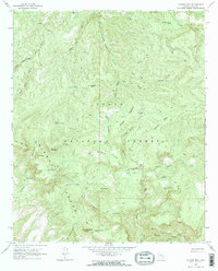
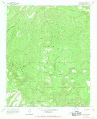
Editions of this 1964 Copper Mtn Map
3 editions found
Other maps of this area

1886 · Holbrook
USGS Topo · 1:250,000

1887 · Verde
USGS Topo · 1:250,000

1892 · Verde
USGS Topo · 1:250,000

1893 · Holbrook
USGS Topo · 1:250,000

1907 · Roosevelt
USGS Topo · 1:125,000

1909 · Four Peaks
USGS Topo · 1:125,000

1912 · Roosevelt
USGS Topo · 1:125,000

1922 · Chrysotile
USGS Topo · 1:125,000

1937 · Diamond Butte
USGS Topo · 1:48,000

1943 · Diamond Butte
USGS Topo · 1:62,500