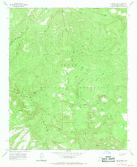
1964 Map of Copper Mtn
USGS Topo · Published 1970About this map
Sierra Ancha dominates this rugged high-desert landscape in Gila County, where the 1964 terrain survey captures a network of remote ranching outposts and high-altitude water sources. Small-scale livestock operations are evident through the presence of the Z T Ranch, Slash S Ranch, and J-R Ranch, which are supported by a complex system of livestock tanks like Headquarters Pasture Tank and Big Turkey Tank. These remote reaches are accessible only by a primitive network of Jeep Trails and a small Landing Strip located in the northwest corner.
Find a feature on this map
58 named features on this map. Tap any name to fly to it.
Don’t see what you’re looking for? This feature index may not catch every label — zoom into the map to look around manually.
Map Details
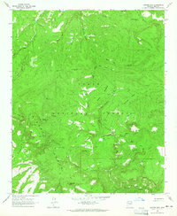
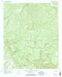
Editions of this 1964 Copper Mtn Map
3 editions found
Other maps of this area

1886 · Holbrook
USGS Topo · 1:250,000

1887 · Verde
USGS Topo · 1:250,000

1892 · Verde
USGS Topo · 1:250,000

1893 · Holbrook
USGS Topo · 1:250,000

1907 · Roosevelt
USGS Topo · 1:125,000

1909 · Four Peaks
USGS Topo · 1:125,000

1912 · Roosevelt
USGS Topo · 1:125,000

1922 · Chrysotile
USGS Topo · 1:125,000

1937 · Diamond Butte
USGS Topo · 1:48,000

1943 · Diamond Butte
USGS Topo · 1:62,500