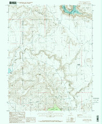
1987 Map of Copper Point
USGS Topo · Published 1987About this map
Glen Canyon National Recreation Area dominates this landscape, where the waters of Lake Powell meet the high desert plateau of San Juan County. Surveyed in the 1980s, the map reveals a complex system of drainage and erosion, from the wide expanse of Browns Rim to the deep incisions of White Canyon and Farley Canyon. This era shows the Colorado plateau as both a protected recreational zone and a site of persistent industrial interest, evidenced by the Happy Jack Mine and other unnamed mining operations tucked into the mesas.
Find a feature on this map
20 named features on this map. Tap any name to fly to it.
Don’t see what you’re looking for? This feature index may not catch every label — zoom into the map to look around manually.
Map Details
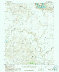
Editions of this 1987 Copper Point Map
2 editions found
Other maps of this area

1886 · Henry Mountains
USGS Topo · 1:250,000

1892 · Henry Mountains
USGS Topo · 1:250,000

1952 · Mouth of Dark Canyon
USGS Topo · 1:62,500

1952 · Mancos Mesa
USGS Topo · 1:62,500

1952 · Natural Bridges
USGS Topo · 1:62,500

1952 · Hite
USGS Topo · 1:62,500
1954 · White Canyon 2 NE
USGS Topo · 1:24,000

1954 · White Canyon 3 NW
USGS Topo · 1:24,000

1954 · White Canyon 3 NE
USGS Topo · 1:24,000
1954 · White Canyon 2 SW
USGS Topo · 1:24,000