
1894 Map of Corazon
USGS Topo · Published 1894About this map
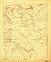
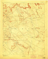
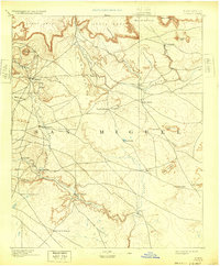
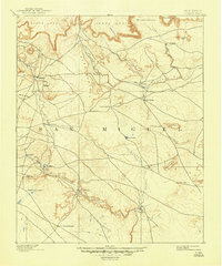
San Miguel county land at the close of the nineteenth century is defined by its dramatic mesa topographies and the crucial water sources that supported early territory life. High plateaus such as Carro Mesa, Yegua Mesa, and Mesa Montosa tower over a landscape carved by the Gallinas River and Conchas River. Settlement patterns follow these lifelines, with communities like Las Colonias, Chaperito, and La Cueva established near the riverbanks and various spring sites. The importance of reliable water is evident in the naming of landmarks like Concha Spring and Cabra Spring, which likely served as vital stops in this arid environment. Surveyed in 1890, the map documents a period before modern infrastructure, where travel was dictated by the natural corridors of the Aguila Cañada and the winding course of Salitre Arroyo.
Find a feature on this map
35 named features on this map. Tap any name to fly to it.
Don’t see what you’re looking for? This feature index may not catch every label — zoom into the map to look around manually.
Map Details
Editions of this 1894 Corazon Map
5 editions found
Other maps of this area

1889 · Las Vegas
USGS Topo · 1:125,000

1890 · Bernal
USGS Topo · 1:125,000

1891 · Bernal
USGS Topo · 1:125,000

1891 · Las Vegas
USGS Topo · 1:125,000

1892 · Watrous
USGS Topo · 1:125,000

1892 · Corazon
USGS Topo · 1:125,000

1893 · Las Vegas
USGS Topo · 1:125,000

1894 · Watrous
USGS Topo · 1:125,000

1894 · Bernal
USGS Topo · 1:125,000

1954 · Santa Fe
USGS Topo · 1:250,000