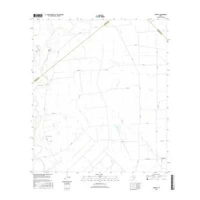
2016 Map of Cordele
USGS Topo · Published 2016About this map
The Navidad River winds through this coastal prairie landscape, defining the western edge of a region where Jackson, Lavaca, and Wharton counties meet. This 2016 survey shows the rural settlement of Cordele and the bend in the river known as Gandy Bend, illustrating a landscape dominated by agricultural parcels and intermittent drainage systems. The presence of Gandy Cem, Miller Cem, and Flourney Cem provides critical points of interest for genealogists tracing family roots in this corner of the Texas Gulf Coast. A network of county roads and farm-to-market routes, including FM 530 and Upper Cordele Rd, connects the scattered farmsteads across the plains. The terrain is marked by numerous small branches and creeks, such as Brushy Cr, Sutherland Cr, and Stem Br, which feed into the larger river system during the wet seasons.
Find a feature on this map
35 named features on this map. Tap any name to fly to it.
Don’t see what you’re looking for? This feature index may not catch every label — zoom into the map to look around manually.
Map Details
Editions of this 2016 Cordele Map
This is the sole edition of this map. No revisions or reprints were ever made.
Other maps of this area

1953 · Seguin
USGS Topo · 1:250,000

1958 · Seguin
USGS Topo · 1:250,000

1962 · Hallettsville SE
USGS Topo · 1:24,000

1963 · Ganado
USGS Topo · 1:24,000

1963 · Mount Olive
USGS Topo · 1:24,000

1964 · Cordele
USGS Topo · 1:24,000

1964 · Morales
USGS Topo · 1:24,000

1964 · Speaks
USGS Topo · 1:24,000
1964 · Navidad
USGS Topo · 1:24,000

1965 · Ganado NE
USGS Topo · 1:24,000