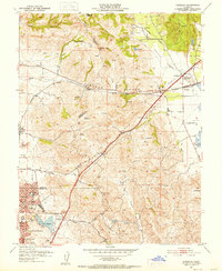
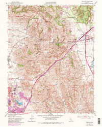
1951 Map of Cordelia
USGS Topo · Published 1952About this map
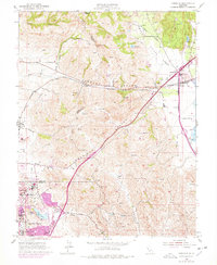
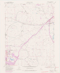
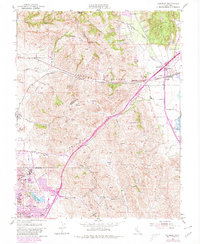
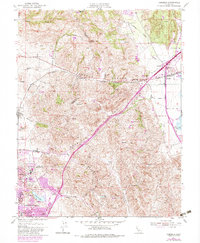
Sulphur Springs Mountain dominates the southern landscape of this 1951 survey, a region where the industrial needs of the postwar era meet the agricultural roots of Solano County. The map details the complex rail and road intersections at Cordelia Junc, where the Southern Pacific tracks and the Pacific Highway converge near the Green Valley Sch. Residential growth is evident in the planned streets of Chabot Terrace and Harry Floyd Terrace, situated near the Permanente Foundation Hospital and the County Fairgrounds.
Find a feature on this map
30 named features on this map. Tap any name to fly to it.
Don’t see what you’re looking for? This feature index may not catch every label — zoom into the map to look around manually.
Map Details
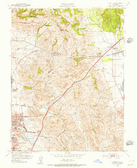
Editions of this 1951 Cordelia Map
9 editions found
Other maps of this area

1896 · Carquinez Strait
USGS Topo · 1:62,500

1898 · Karquines
USGS Topo · 1:62,500

1901 · Karquines
USGS Topo · 1:62,500

1902 · Napa
USGS Topo · 1:125,000

1916 · Mare Island
USGS Topo · 1:62,500

1921 · Mt. Vaca
USGS Topo · 1:62,500

1940 · Carquinez Strait
USGS Topo · 1:62,500

1942 · Mare Island
USGS Topo · 1:62,500

1942 · Carquinez
USGS Topo · 1:62,500

1942 · Sonoma
USGS Topo · 1:62,500