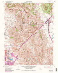
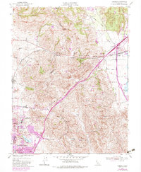
1951 Map of Cordelia
USGS Topo · Published 1983About this map
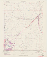
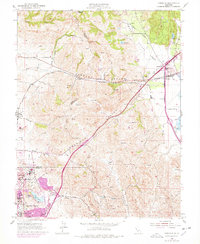
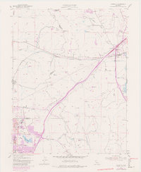
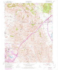
Jameson Canyon and American Canyon serve as the primary conduits through the rising topography of the Sulphur Springs Mountains in this mid-century survey. The landscape reflects a period of significant post-war development in Solano County, particularly around the southern residential clusters of Chabot Terrace, Flosden Acres, and Harry Floyd Terrace. These housing areas were closely linked to the industrial and naval activity near Vallejo, anchored by facilities like the Permanente Foundation Hospital and the nearby County Fairgrounds. To the east, the junction at Cordelia remains a vital transportation hub where the Southern Pacific railroad meets the canyon passes. Evidence of the area's extraction history is visible at the St John Mine and a Quarry, while the presence of the Olympic School and Green Valley Sch documents the community infrastructure supporting these growing neighborhoods.
Find a feature on this map
30 named features on this map. Tap any name to fly to it.
Don’t see what you’re looking for? This feature index may not catch every label — zoom into the map to look around manually.
Map Details
Editions of this 1951 Cordelia Map
9 editions found
Other maps of this area

1896 · Carquinez Strait
USGS Topo · 1:62,500

1898 · Karquines
USGS Topo · 1:62,500

1901 · Karquines
USGS Topo · 1:62,500

1902 · Napa
USGS Topo · 1:125,000

1916 · Mare Island
USGS Topo · 1:62,500

1921 · Mt. Vaca
USGS Topo · 1:62,500

1940 · Carquinez Strait
USGS Topo · 1:62,500

1942 · Mare Island
USGS Topo · 1:62,500

1942 · Carquinez
USGS Topo · 1:62,500

1942 · Sonoma
USGS Topo · 1:62,500