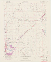
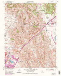
1951 Map of Cordelia
USGS Topo · Published 1969About this map
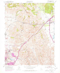
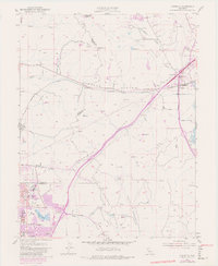
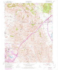
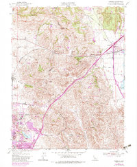
The hills and canyons of southeastern Napa and Solano Counties are mapped here during a period of transition, following the 1951 survey with 1968 updates. Residential developments like Chabot Terrace, Flosden Acres, and Harry Floyd Terrace expand toward the County Fairgrounds on the outskirts of Vallejo, while the industrial and agricultural character of the land persists elsewhere. The Southern Pacific railroad remains a primary transit corridor, winding through Jameson Canyon past Creston toward the junction at Cordelia.
Find a feature on this map
47 named features on this map. Tap any name to fly to it.
Don’t see what you’re looking for? This feature index may not catch every label — zoom into the map to look around manually.
Map Details
Editions of this 1951 Cordelia Map
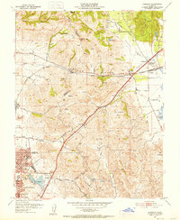
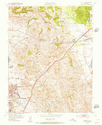
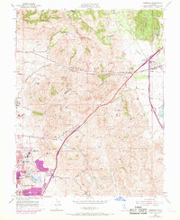
9 editions found
Other maps of this area

1896 · Carquinez Strait
USGS Topo · 1:62,500

1898 · Karquines
USGS Topo · 1:62,500

1901 · Karquines
USGS Topo · 1:62,500

1902 · Napa
USGS Topo · 1:125,000

1916 · Mare Island
USGS Topo · 1:62,500

1921 · Mt. Vaca
USGS Topo · 1:62,500

1940 · Carquinez Strait
USGS Topo · 1:62,500

1942 · Mare Island
USGS Topo · 1:62,500

1942 · Carquinez
USGS Topo · 1:62,500

1942 · Sonoma
USGS Topo · 1:62,500