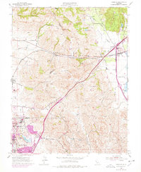
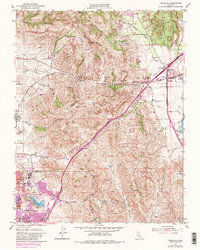
1951 Map of Cordelia
USGS Topo · Published 1978About this map
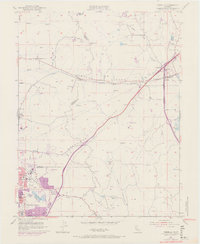
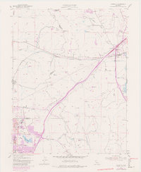
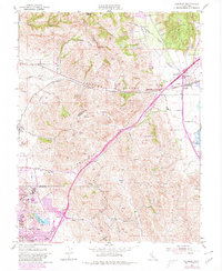
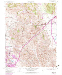
Sulphur Springs Mountain and the surrounding ridgelines dominate this landscape between Vallejo and Fairfield during the mid-twentieth century. The map illustrates a critical infrastructure corridor where the Southern Pacific railroad and the Pacific Highway navigate the narrow passages of Jameson Canyon and American Canyon. Local industry and institutional history are prominent, evidenced by the St John Mine tucked into the slopes and the Permanente Foundation Hospital near the developing residential tracts of Chabot Terrace and Flosden Acres.
Find a feature on this map
30 named features on this map. Tap any name to fly to it.
Don’t see what you’re looking for? This feature index may not catch every label — zoom into the map to look around manually.
Map Details
Editions of this 1951 Cordelia Map
9 editions found
Other maps of this area

1896 · Carquinez Strait
USGS Topo · 1:62,500

1898 · Karquines
USGS Topo · 1:62,500

1901 · Karquines
USGS Topo · 1:62,500

1902 · Napa
USGS Topo · 1:125,000

1916 · Mare Island
USGS Topo · 1:62,500

1921 · Mt. Vaca
USGS Topo · 1:62,500

1940 · Carquinez Strait
USGS Topo · 1:62,500

1942 · Mare Island
USGS Topo · 1:62,500

1942 · Carquinez
USGS Topo · 1:62,500

1942 · Sonoma
USGS Topo · 1:62,500