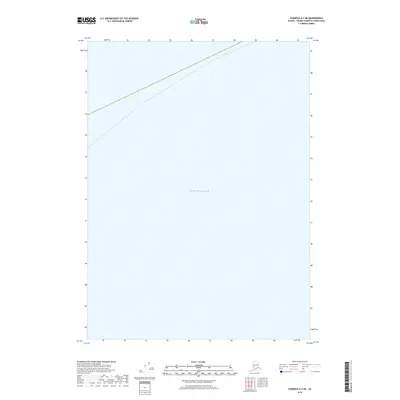
2018 Map of Cordova A-7 NE
USGS Topo · Published 2018About this map
The vast marine expanse of the Gulf of Alaska dominates this 2018 survey, which focuses on a coastal sector within the Valdez-Cordova Census Area. The map captures a section of the northern Pacific where the open ocean meets the rugged Alaskan coastline. Unlike many terrestrial topographic sheets, this particular survey lacks interior elevation contours because available data did not meet accuracy standards during the 2011 product production cycle. Instead, the focus remains on the maritime boundary and the precise coordinate tracking of this remote northern coastline. The sheet serves as a primary reference for the offshore geography of the Unorganized Borough during the early twenty-first century, documenting the intersection of sea and land before the implementation of more detailed inland relief mapping.
Find a feature on this map
1 named feature on this map. Tap any name to fly to it.
Don’t see what you’re looking for? This feature index may not catch every label — zoom into the map to look around manually.
Map Details
Editions of this 2018 Cordova A-7 NE Map
This is the sole edition of this map. No revisions or reprints were ever made.
Other maps of this area

1948 · Cordova
USGS Topo · 1:250,000

1950 · Cordova B-7
USGS Topo · 1:63,360

1951 · Cordova
USGS Topo · 1:250,000

1951 · Cordova B-6
USGS Topo · 1:63,360

1953 · Cordova B-7
USGS Topo · 1:63,360

1953 · Cordova B-6
USGS Topo · 1:63,360

1959 · Cordova
USGS Topo · 1:250,000
1997 · Cordova B-7
USGS Topo · 1:63,360
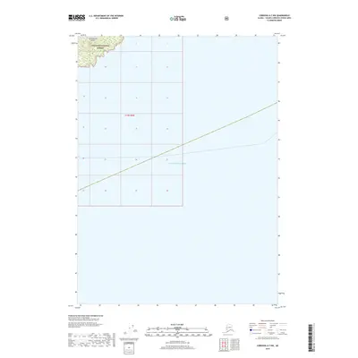
2018 · Cordova A-7 NW
USGS Topo · 1:25,000
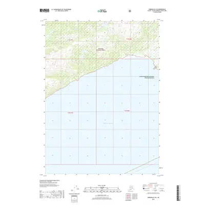
2018 · Cordova B-7 SE
USGS Topo · 1:25,000