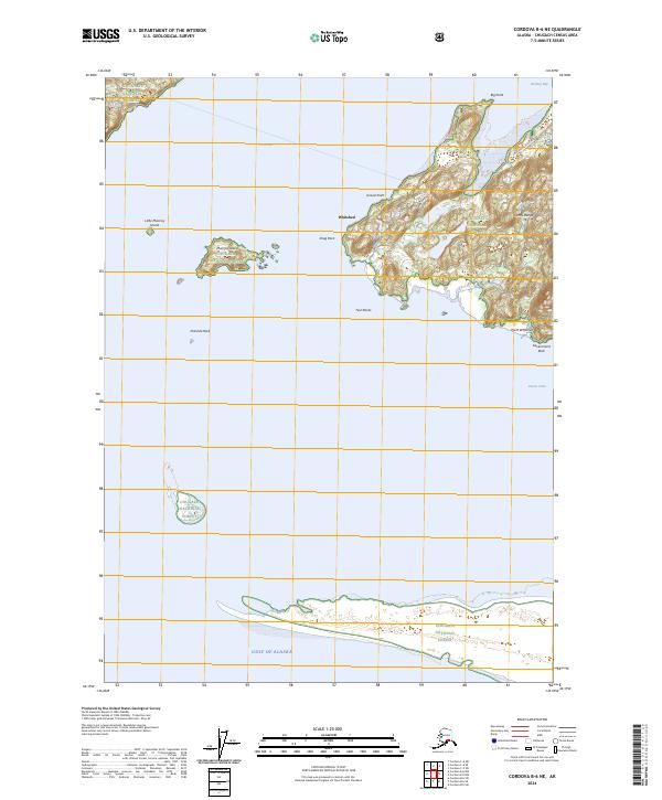
2024 Map of Cordova B-6 NE
USGS Topo · Published 2024About this map
Whitshed and the surrounding coastal landscape of the Chugach National Forest are documented in this contemporary survey. The geography is defined by the sharp elevations of the Heney Range and the intricate shoreline where Orca Inlet meets the northern reaches of the Gulf of Alaska. The presence of the Point Whitshed Road provides a primary terrestrial link through the forest, connecting the coast near Gravel Point and Point Whitshed.
Find a feature on this map
21 named features on this map. Tap any name to fly to it.
Don’t see what you’re looking for? This feature index may not catch every label — zoom into the map to look around manually.
Map Details
Editions of this 2024 Cordova B-6 NE Map
This is the sole edition of this map. No revisions or reprints were ever made.
Other maps of this area

1948 · Cordova
USGS Topo · 1:250,000

1950 · Cordova C-6
USGS Topo · 1:63,360

1951 · Cordova
USGS Topo · 1:250,000

1951 · Cordova C-5
USGS Topo · 1:63,360

1951 · Cordova B-5
USGS Topo · 1:63,360

1951 · Cordova B-6
USGS Topo · 1:63,360

1953 · Cordova C-6
USGS Topo · 1:63,360

1953 · Cordova B-5
USGS Topo · 1:63,360

1953 · Cordova C-5
USGS Topo · 1:63,360

1953 · Cordova B-6
USGS Topo · 1:63,360