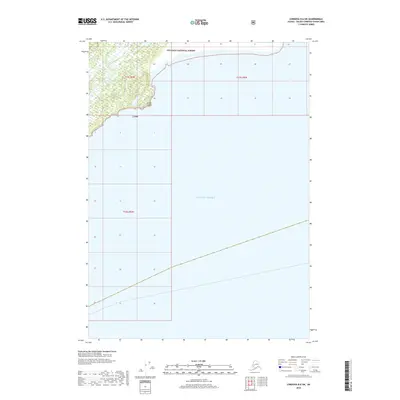
2018 Map of Cordova B-6 SW
USGS Topo · Published 2018About this map
Chugach National Forest land meets the open water of the Gulf of Alaska in this coastal Alaskan survey. The geography is dominated by a jagged, low-lying coastline where Snake Cr discharges into the northern reaches of the gulf. A prominent navigational marker, Point Steele, defines the edge of the landmass before it gives way to the sea. This 2018 edition illustrates the intersection of federal forest boundaries and the maritime environment, showing the minimal human infrastructure and dense natural contours characteristic of this part of the Unorganized Borough. The map provides a precise look at the township and range lines, including t17s r6w and t17s r5w, which grid the wilderness and water near the shore.
Find a feature on this map
7 named features on this map. Tap any name to fly to it.
Don’t see what you’re looking for? This feature index may not catch every label — zoom into the map to look around manually.
Map Details
Editions of this 2018 Cordova B-6 SW Map
This is the sole edition of this map. No revisions or reprints were ever made.
Other maps of this area

1948 · Cordova
USGS Topo · 1:250,000

1950 · Cordova B-7
USGS Topo · 1:63,360

1951 · Cordova
USGS Topo · 1:250,000

1951 · Cordova B-6
USGS Topo · 1:63,360

1953 · Cordova B-7
USGS Topo · 1:63,360

1953 · Cordova B-6
USGS Topo · 1:63,360

1959 · Cordova
USGS Topo · 1:250,000
1997 · Cordova B-7
USGS Topo · 1:63,360
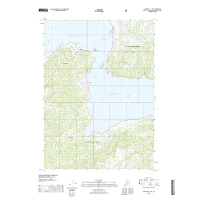
2018 · Cordova B-7 NE
USGS Topo · 1:25,000
2018 · Cordova A-7 NE
USGS Topo · 1:25,000