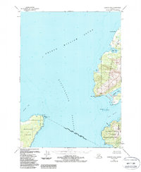
1951 Map of Cordova B-8
USGS Topo · Published 1988About this map
Hinchinbrook Entrance serves as the focal point of this coastal survey, where the waters of Prince William Sound meet the open sea. The settlement of Nuchek is situated on the protected shores of Port Etches, accompanied by a Cem and Pt Barber, marking a site of long-standing significance in the region. The landscape is characterized by prominent maritime landmarks such as the Hinchinbrook Lighthouse Reserve and the heights of Signal Mtn, which overlook the strategic transition between Montague Island and Hinchinbrook Island.
Find a feature on this map
27 named features on this map. Tap any name to fly to it.
Don’t see what you’re looking for? This feature index may not catch every label — zoom into the map to look around manually.
Map Details
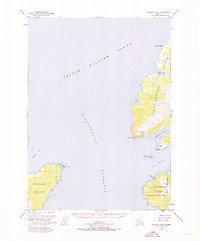
Editions of this 1951 Cordova B-8 Map
Other maps of this area

1948 · Cordova
USGS Topo · 1:250,000

1950 · Cordova C-7
USGS Topo · 1:63,360

1950 · Cordova B-7
USGS Topo · 1:63,360

1950 · Cordova C-8
USGS Topo · 1:63,360

1951 · Seward
USGS Topo · 1:250,000

1951 · Cordova
USGS Topo · 1:250,000

1951 · Seward B-1
USGS Topo · 1:63,360

1951 · Seward A-1
USGS Topo · 1:63,360

1951 · Seward C-1
USGS Topo · 1:63,360

1951 · Cordova B-8
USGS Topo · 1:63,360