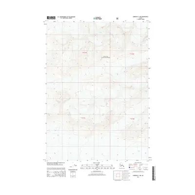
2014 Map of Cordova C-1 NE
USGS Topo · Published 2014About this map
Chugach National Forest encompasses the entirety of this Alaskan landscape, where the primary geological narrative is written in ice. Massive glacial flows define the drainage and elevation patterns of the region, specifically the vast reaches of Miles Glacier in the southern and eastern portions of the quadrangle. High-altitude ice fields feed into Van Cleve Glacier and Wernicke Glacier, highlighting a wilderness area shaped by active glacial processes rather than human infrastructure. The map provides precise topographic data for these icy expanses as they appeared in 2014, including the intricate terminal and lateral moraine patterns where the ice meets the surrounding peaks of the Chugach Range.
Find a feature on this map
11 named features on this map. Tap any name to fly to it.
Don’t see what you’re looking for? This feature index may not catch every label — zoom into the map to look around manually.
Map Details
Editions of this 2014 Cordova C-1 NE Map
This is the sole edition of this map. No revisions or reprints were ever made.
Other maps of this area

1948 · Cordova
USGS Topo · 1:250,000

1950 · Bering Glacier
USGS Topo · 1:250,000

1951 · Bering Glacier
USGS Topo · 1:250,000

1951 · Cordova
USGS Topo · 1:250,000

1959 · Cordova D-1
USGS Topo · 1:63,360

1959 · Cordova C-1
USGS Topo · 1:63,360

1959 · Bering Glacier
USGS Topo · 1:250,000

1959 · Cordova
USGS Topo · 1:250,000
1984 · Bering Glacier D-8
USGS Topo · 1:63,360
1985 · Bering Glacier C-8
USGS Topo · 1:63,360