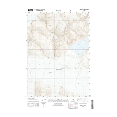
2014 Map of Cordova C-2 NE
USGS Topo · Published 2014About this map
Miles Glacier and LaGorce Glacier define the glacial movement within this section of the Chugach National Forest. The landscape is dominated by the flow of the Copper River, which feeds into the expansive Miles Lake at the base of the mountains. This 2014 survey documents the hydrographic patterns of the region, including the tucked-away Van Cleve Lake and the steep walls of Baird Canyon. The interplay between the massive ice fields of the Chugach Mountains and the river systems demonstrates the constant geological shifts in this part of the Unorganized Borough. While primarily a map of natural features, the inclusion of precise township and range lines like t13s r5e provides a critical reference for understanding land management and remote wilderness boundaries in early 21st-century Alaska.
Find a feature on this map
12 named features on this map. Tap any name to fly to it.
Don’t see what you’re looking for? This feature index may not catch every label — zoom into the map to look around manually.
Map Details
Editions of this 2014 Cordova C-2 NE Map
This is the sole edition of this map. No revisions or reprints were ever made.
Other maps of this area

1948 · Cordova
USGS Topo · 1:250,000

1951 · Cordova
USGS Topo · 1:250,000

1959 · Cordova C-2
USGS Topo · 1:63,360

1959 · Cordova D-1
USGS Topo · 1:63,360

1959 · Cordova D-2
USGS Topo · 1:63,360

1959 · Cordova C-1
USGS Topo · 1:63,360

1959 · Cordova
USGS Topo · 1:250,000
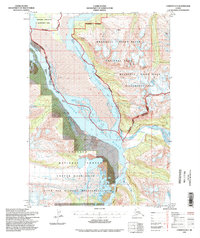
1994 · Cordova D-2
USGS Topo · 1:63,360
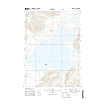
2014 · Cordova C-2 NW
USGS Topo · 1:25,000
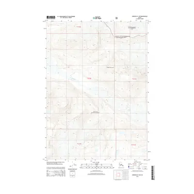
2014 · Cordova D-1 SW
USGS Topo · 1:25,000