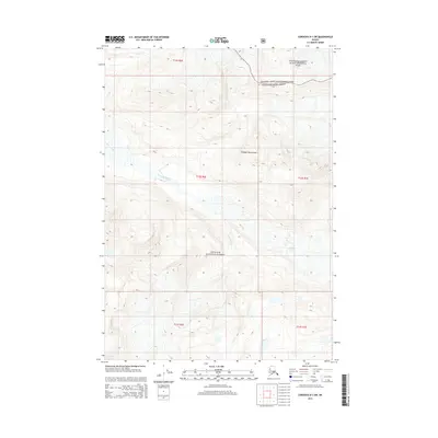
2014 Map of Cordova D-1 SW
USGS Topo · Published 2014About this map
The Chugach Mountains dominate this high-latitude Alaskan terrain, providing the source for the Wernicke Glacier which feeds into the braided channels of the Wernicke River. This landscape is defined by the intersection of massive federal land tracts, where the southern boundary of Wrangell-Saint Elias National Park meets the northern reaches of the Chugach National Forest. The absence of any roads, settlements, or infrastructure reflects the extreme nature of the Cordoba D-1 region, where natural glacial flow and topography dictate the environment. Geologists and researchers can use this survey to examine the 21st-century extent of glacial ice and the drainage patterns that characterize this segment of the Unorganized Borough.
Find a feature on this map
10 named features on this map. Tap any name to fly to it.
Don’t see what you’re looking for? This feature index may not catch every label — zoom into the map to look around manually.
Map Details
Editions of this 2014 Cordova D-1 SW Map
This is the sole edition of this map. No revisions or reprints were ever made.
Other maps of this area

1948 · Cordova
USGS Topo · 1:250,000

1951 · Cordova
USGS Topo · 1:250,000

1959 · Cordova C-2
USGS Topo · 1:63,360

1959 · Cordova D-1
USGS Topo · 1:63,360

1959 · Cordova D-2
USGS Topo · 1:63,360

1959 · Cordova C-1
USGS Topo · 1:63,360

1959 · Cordova
USGS Topo · 1:250,000
1994 · Cordova D-2
USGS Topo · 1:63,360
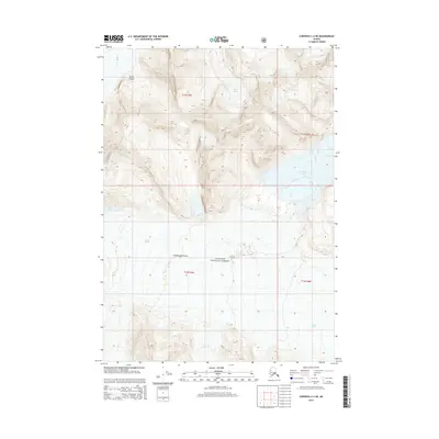
2014 · Cordova C-2 NE
USGS Topo · 1:25,000
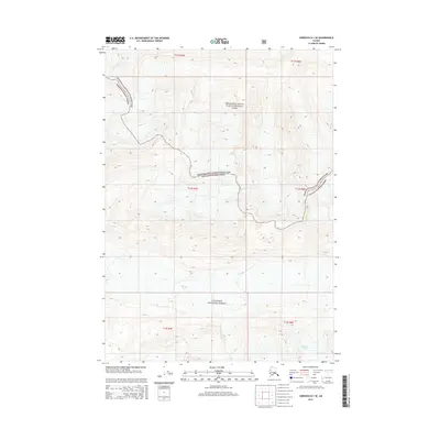
2014 · Cordova D-1 SE
USGS Topo · 1:25,000