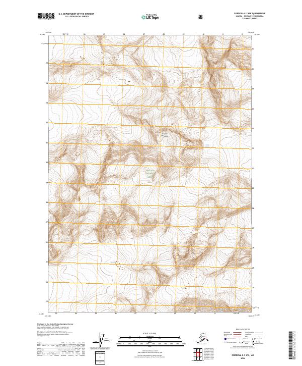
2024 Map of Cordova C-3 NW
USGS Topo · Published 2024About this map
The Chugach Mountains dominate this high-altitude landscape in the Chugach National Forest, where steep relief and glacial movement define the terrain. At the eastern edge of the quadrangle, the massive Childs Glacier flows toward the lower elevations, while the Sheridan Glacier is situated to the southwest. The mapping of these ice fields provides a baseline for understanding the massive scale of the Alaskan interior's coastal ranges.
Find a feature on this map
9 named features on this map. Tap any name to fly to it.
Don’t see what you’re looking for? This feature index may not catch every label — zoom into the map to look around manually.
Map Details
Editions of this 2024 Cordova C-3 NW Map
This is the sole edition of this map. No revisions or reprints were ever made.
Other maps of this area

1948 · Cordova
USGS Topo · 1:250,000

1950 · Cordova C-4
USGS Topo · 1:63,360

1950 · Cordova D-3
USGS Topo · 1:63,360

1951 · Cordova
USGS Topo · 1:250,000

1951 · Cordova C-3
USGS Topo · 1:63,360

1951 · Cordova D-4
USGS Topo · 1:63,360

1953 · Cordova D-4
USGS Topo · 1:63,360

1953 · Cordova C-3
USGS Topo · 1:63,360

1953 · Cordova C-4
USGS Topo · 1:63,360

1953 · Cordova D-3
USGS Topo · 1:63,360