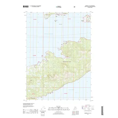
2018 Map of Cordova C-6 SE
USGS Topo · Published 2018About this map
Hawkins Island and the surrounding waters of Prince William Sound define this coastal portion of the Chugach National Forest. The landscape is dominated by tidal inlets and drainage systems including Cedar Bay, Windy Bay, and Hidden Cove. Dozens of small creeks, such as Spruce Cr, Hemlock Cr, and Paul Cr, descend from the interior heights toward the sound and the Gulf of Alaska.
Find a feature on this map
28 named features on this map. Tap any name to fly to it.
Don’t see what you’re looking for? This feature index may not catch every label — zoom into the map to look around manually.
Map Details
Editions of this 2018 Cordova C-6 SE Map
This is the sole edition of this map. No revisions or reprints were ever made.
Other maps of this area

1948 · Cordova
USGS Topo · 1:250,000

1950 · Cordova C-6
USGS Topo · 1:63,360

1951 · Cordova
USGS Topo · 1:250,000

1951 · Cordova C-5
USGS Topo · 1:63,360

1951 · Cordova B-5
USGS Topo · 1:63,360

1951 · Cordova B-6
USGS Topo · 1:63,360

1953 · Cordova C-6
USGS Topo · 1:63,360

1953 · Cordova B-5
USGS Topo · 1:63,360

1953 · Cordova C-5
USGS Topo · 1:63,360

1953 · Cordova B-6
USGS Topo · 1:63,360