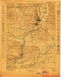
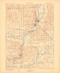
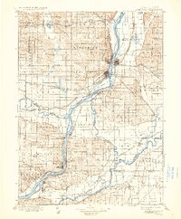
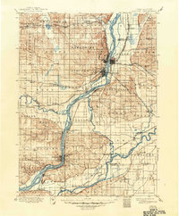
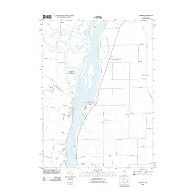
1899 Map of Cordova
USGS Topo · Published 1899About this map
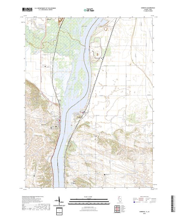
The Mississippi River forms the central spine of this late-nineteenth-century landscape, carving a wide path between the borderlands of Iowa and Illinois. Significant river towns such as Lyons, Clinton, and Fulton serve as primary hubs where industry and transport converge. The dense concentration of rail lines, including the Chicago and Northwestern RR and the Chicago Milwaukee and St. Paul RR, highlights the region's importance as a gateway for westward expansion and regional trade. To the west, the Wapsipinicon River meanders toward the Mississippi, defining the lowlands near McCausland. The mapping also captures the intricate drainage of Goose Lake and Cattail Creek, illustrating a rural economy transitioning through the development of structured township lines and established settlements like Port Byron and Leclaire along the eastern riverbank.
Find a feature on this map
92 named features on this map. Tap any name to fly to it.
Don’t see what you’re looking for? This feature index may not catch every label — zoom into the map to look around manually.
Map Details
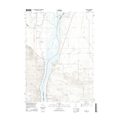
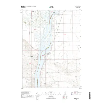
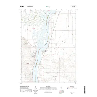
Editions of this 1899 Cordova Map
5 editions found

Historical Maps of Davenport Through Time
10 maps found
1899 Cordova
Rock Island County, IL
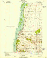
1952 Cordova
Rock Island County, IL
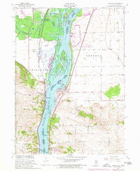
1953 Cordova
Rock Island County, IL
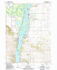
1991 Cordova
Rock Island County, IL
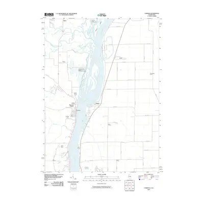
2010 Cordova
Rock Island County, IL
2012 Cordova
Rock Island County, IL
2015 Cordova
Rock Island County, IL
2018 Cordova
Rock Island County, IL
2021 Cordova
Rock Island County, IL
2024 Cordova
Rock Island County, IL