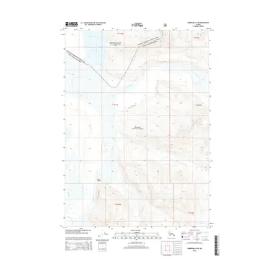
2014 Map of Cordova D-2 SE
USGS Topo · Published 2014About this map
The Copper River and its major tributaries carve through this Alaskan wilderness at a point where the Wrangell-Saint Elias National Park meets the Chugach National Forest. The confluence of the Bremner River and the Copper River creates a complex drainage system, characterized by the narrow passage of Baird Canyon to the south. This terrain is defined by extreme elevation changes and glacial runoff, with the Allen River and Wernicke River feeding into the main channel. Human presence is minimal, noted primarily by the Wernicke River Trail which provides a terrestrial path through the river valley. The map documents the intricate hydrology of the region as it existed in the early 21st century, showing how the river systems dominate the land-use patterns of these protected federal lands.
Find a feature on this map
14 named features on this map. Tap any name to fly to it.
Don’t see what you’re looking for? This feature index may not catch every label — zoom into the map to look around manually.
Map Details
Editions of this 2014 Cordova D-2 SE Map
This is the sole edition of this map. No revisions or reprints were ever made.
Other maps of this area

1948 · Cordova
USGS Topo · 1:250,000

1951 · Cordova
USGS Topo · 1:250,000

1959 · Cordova C-2
USGS Topo · 1:63,360

1959 · Cordova D-1
USGS Topo · 1:63,360

1959 · Cordova D-2
USGS Topo · 1:63,360

1959 · Cordova C-1
USGS Topo · 1:63,360

1959 · Cordova
USGS Topo · 1:250,000
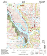
1994 · Cordova D-2
USGS Topo · 1:63,360
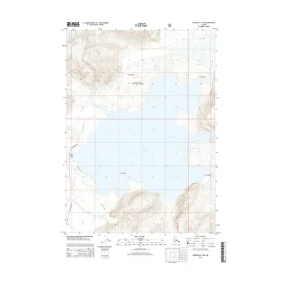
2014 · Cordova C-2 NW
USGS Topo · 1:25,000
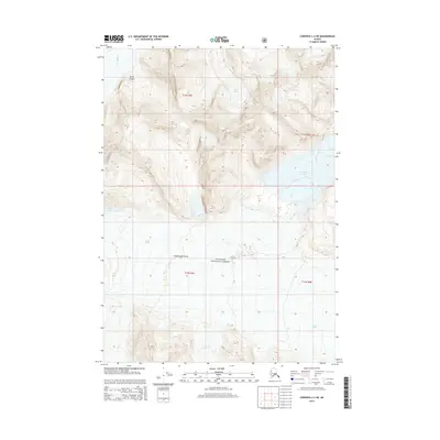
2014 · Cordova C-2 NE
USGS Topo · 1:25,000