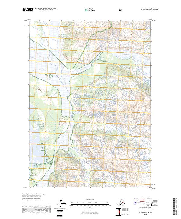
2024 Map of Cordova D-2 SE
USGS Topo · Published 2024About this map
The Copper River dominates this landscape, winding through a complex system of channels and bars as it flows south toward the Gulf of Alaska. This 2024 map documents the wild geography where the river carves through Baird Canyon, a narrow passage flanked by the steep elevations of the Chugach National Forest. The map also captures the confluence of the Wernicke River, which joins the main channel from the east, and identifies the Wernicke River Trl following the northern bank of its namesake tributary.
Find a feature on this map
13 named features on this map. Tap any name to fly to it.
Don’t see what you’re looking for? This feature index may not catch every label — zoom into the map to look around manually.
Map Details
Editions of this 2024 Cordova D-2 SE Map
This is the sole edition of this map. No revisions or reprints were ever made.
Other maps of this area

1948 · Cordova
USGS Topo · 1:250,000

1951 · Cordova
USGS Topo · 1:250,000

1959 · Cordova C-2
USGS Topo · 1:63,360

1959 · Cordova D-1
USGS Topo · 1:63,360

1959 · Cordova D-2
USGS Topo · 1:63,360

1959 · Cordova C-1
USGS Topo · 1:63,360

1959 · Cordova
USGS Topo · 1:250,000
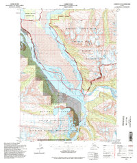
1994 · Cordova D-2
USGS Topo · 1:63,360
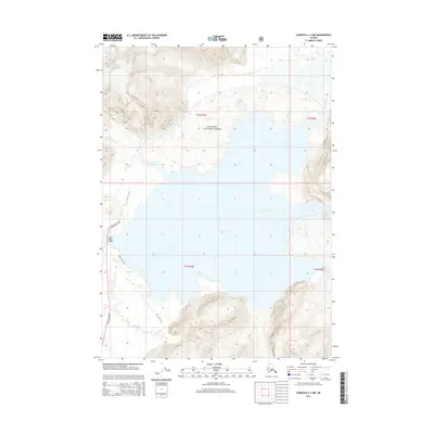
2014 · Cordova C-2 NW
USGS Topo · 1:25,000
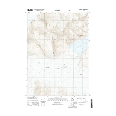
2014 · Cordova C-2 NE
USGS Topo · 1:25,000