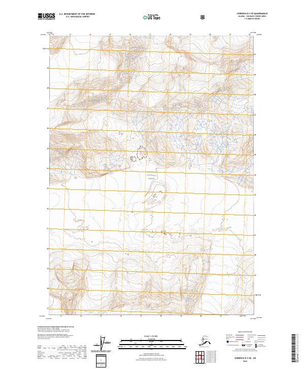
2024 Map of Cordova D-3 SE
USGS Topo · Published 2024About this map
Chugach National Forest encompasses the vast majority of this 2024 quadrangle, revealing a landscape defined by dramatic vertical relief and glacial drainage patterns. The eastern edge of the map features Nels Miller Slough, a tidal or riverine waterway that marks a distinct break from the surrounding upland topography. This modern survey reflects the enduring wilderness character of the Alaska coast, where the Public Land Survey System grid lines for t11s r3e and t12s r4e overlay terrain that remains largely untouched by development. For researchers and cartographic collectors, the sheet provides a precise record of contemporary glacial footprints and hydrological features within one of the nation's most expansive national forests.
Find a feature on this map
8 named features on this map. Tap any name to fly to it.
Don’t see what you’re looking for? This feature index may not catch every label — zoom into the map to look around manually.
Map Details
Editions of this 2024 Cordova D-3 SE Map
This is the sole edition of this map. No revisions or reprints were ever made.
Other maps of this area

1948 · Cordova
USGS Topo · 1:250,000

1950 · Cordova D-3
USGS Topo · 1:63,360

1951 · Cordova
USGS Topo · 1:250,000

1951 · Cordova C-3
USGS Topo · 1:63,360

1953 · Cordova C-3
USGS Topo · 1:63,360

1953 · Cordova D-3
USGS Topo · 1:63,360

1959 · Cordova C-2
USGS Topo · 1:63,360

1959 · Cordova D-2
USGS Topo · 1:63,360

1959 · Cordova
USGS Topo · 1:250,000
1994 · Cordova D-2
USGS Topo · 1:63,360