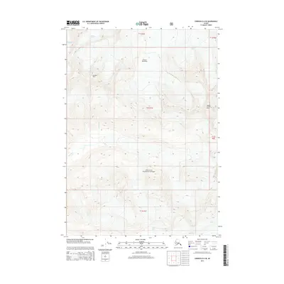
2014 Map of Cordova D-4 SE
USGS Topo · Published 2014About this map
Cordova Peak and the high elevations of the Chugach Mountains dominate this 2014 survey of the Alaskan wilderness. This area, largely contained within the Chugach National Forest, showcases the dynamic glacial systems of the region. The map tracks the movement of several massive ice fields, including Woodworth Glacier and Schwan Glacier in the north, while Scott Glacier carves through the southern landscape. The drainage patterns are clearly visible as meltwater feeds into the Rude River, illustrating the high-altitude hydrology of the Unorganized Borough. This modern topographical study provides an exact record of the ice margins and peak elevations, such as Mount Chosin Few, during a period of significant environmental monitoring in the early 21st century.
Find a feature on this map
13 named features on this map. Tap any name to fly to it.
Don’t see what you’re looking for? This feature index may not catch every label — zoom into the map to look around manually.
Map Details
Editions of this 2014 Cordova D-4 SE Map
This is the sole edition of this map. No revisions or reprints were ever made.
Other maps of this area

1948 · Cordova
USGS Topo · 1:250,000

1950 · Cordova C-4
USGS Topo · 1:63,360

1950 · Cordova D-3
USGS Topo · 1:63,360

1951 · Cordova
USGS Topo · 1:250,000

1951 · Cordova C-3
USGS Topo · 1:63,360

1951 · Cordova D-4
USGS Topo · 1:63,360

1953 · Cordova D-4
USGS Topo · 1:63,360

1953 · Cordova C-3
USGS Topo · 1:63,360

1953 · Cordova C-4
USGS Topo · 1:63,360

1953 · Cordova D-3
USGS Topo · 1:63,360