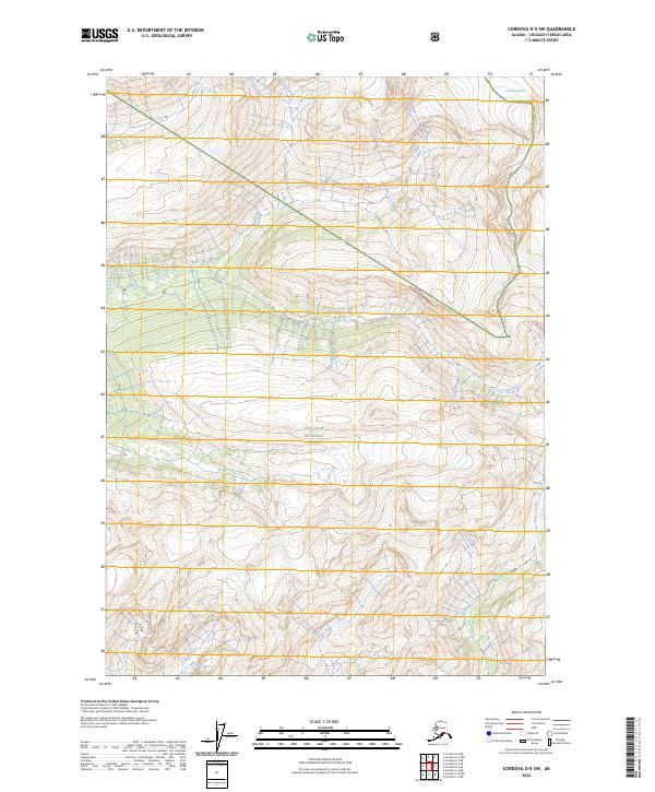
2024 Map of Cordova D-5 SW
USGS Topo · Published 2024About this map
Chugach National Forest encompasses the entirety of this Alaskan landscape, where glacial meltwater and mountain drainage systems dictate the local geography. The central valley is carved by the Gravina River, which flows westward through a broad drainage basin fed by numerous unnamed tributaries. To the north, the Cordova Glacier rests in the high elevations, serving as a primary source for the region's hydrography. The southern reaches are defined by the Sheep River and Simpson Creek, illustrating the complex network of waterways that emerge from the high ridges. This map captures a pristine wilderness area within the national forest system, showing a topography where natural boundaries and watercourses remain the only significant landmarks, unmarred by modern infrastructure or permanent settlements.
Find a feature on this map
11 named features on this map. Tap any name to fly to it.
Don’t see what you’re looking for? This feature index may not catch every label — zoom into the map to look around manually.
Map Details
Editions of this 2024 Cordova D-5 SW Map
This is the sole edition of this map. No revisions or reprints were ever made.
Other maps of this area

1948 · Cordova
USGS Topo · 1:250,000

1950 · Cordova C-6
USGS Topo · 1:63,360

1950 · Cordova D-5
USGS Topo · 1:63,360

1951 · Cordova
USGS Topo · 1:250,000

1951 · Cordova C-5
USGS Topo · 1:63,360

1951 · Cordova D-6
USGS Topo · 1:63,360

1953 · Cordova C-6
USGS Topo · 1:63,360

1953 · Cordova D-5
USGS Topo · 1:63,360

1953 · Cordova C-5
USGS Topo · 1:63,360

1953 · Cordova D-6
USGS Topo · 1:63,360