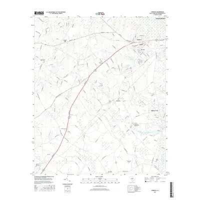
2017 Map of Cordova
USGS Topo · Published 2017About this map
The North Fork Edisto River defines the northeastern boundary of this landscape, where the urban edges of Orangeburg transition into the agricultural and swampy lowlands of the coastal plain. Historically significant church and burial sites are scattered throughout the region, including the Wesley Grove United Methodist Church Cem and the Smoak Family Cem. These sites, along with smaller settlements like Haddock and Edisto, reveal the enduring rural community structure in Orangeburg County.
Find a feature on this map
153 named features on this map. Tap any name to fly to it.
Don’t see what you’re looking for? This feature index may not catch every label — zoom into the map to look around manually.
Map Details
Editions of this 2017 Cordova Map
This is the sole edition of this map. No revisions or reprints were ever made.
Other maps of this area

1919 · Bamberg
USGS Topo · 1:48,000

1920 · Bamberg
USGS Topo · 1:62,500

1920 · Orangeburg
USGS Topo · 1:48,000

1921 · Orangeburg
USGS Topo · 1:62,500

1943 · Bamberg
USGS Topo · 1:62,500

1943 · Orangeburg
USGS Topo · 1:125,000

1943 · Orangeburg
USGS Topo · 1:62,500

1946 · Woodford
USGS Topo · 1:62,500

1946 · St. Matthews
USGS Topo · 1:62,500

1954 · Augusta
USGS Topo · 1:250,000