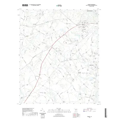
2020 Map of Cordova
USGS Topo · Published 2020About this map
The North Fork Edisto River forms the eastern boundary of this landscape, where the town of Cordova serves as a central hub. The area is defined by its numerous swampy drainages and creeks, including Snake Swamp, Cooper Swamp, and Dry Swamp, which snake through the rural terrain. Settlement patterns are concentrated around several distinct communities like Gravel Hill, Haddock, and Rivelon, reflecting the long-standing agricultural and residential character of Orangeburg County.
Find a feature on this map
131 named features on this map. Tap any name to fly to it.
Don’t see what you’re looking for? This feature index may not catch every label — zoom into the map to look around manually.
Map Details
Editions of this 2020 Cordova Map
This is the sole edition of this map. No revisions or reprints were ever made.
Other maps of this area

1919 · Bamberg
USGS Topo · 1:48,000

1920 · Bamberg
USGS Topo · 1:62,500

1920 · Orangeburg
USGS Topo · 1:48,000

1921 · Orangeburg
USGS Topo · 1:62,500

1943 · Bamberg
USGS Topo · 1:62,500

1943 · Orangeburg
USGS Topo · 1:125,000

1943 · Orangeburg
USGS Topo · 1:62,500

1946 · Woodford
USGS Topo · 1:62,500

1946 · St. Matthews
USGS Topo · 1:62,500

1954 · Augusta
USGS Topo · 1:250,000