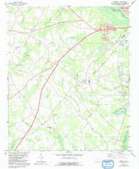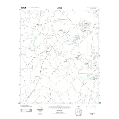
2024 Map of Cordova
USGS Topo · Published 2024About this map
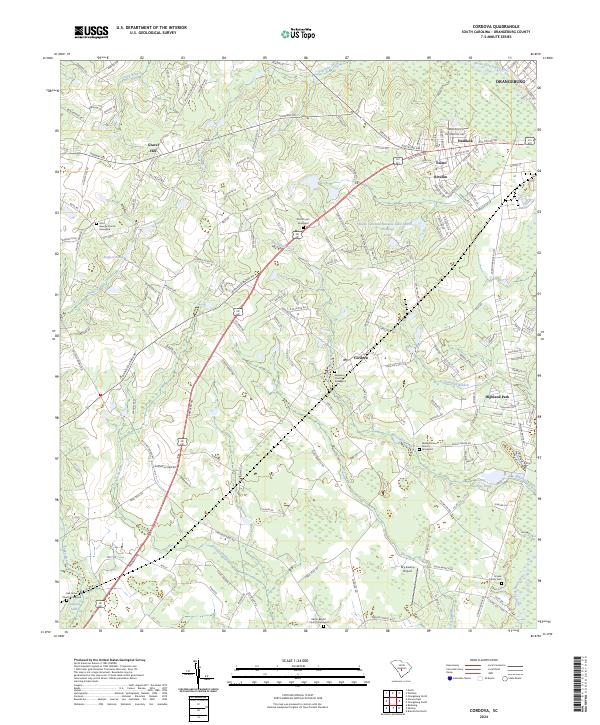
Cordova and the surrounding coastal plain of Orangeburg County are defined by a complex network of waterways and wetlands including the North Fork Edisto River and Snake Swamp. The landscape is dotted with several significant local landmarks that serve as anchors for genealogical research, such as the Edisto Baptist Graveyard and Saint George Graveyard. To the southeast, the Orangeburg County National Fish Hatchery and County Hatchery Pond indicate the region's specialized infrastructure, while the Dry Swamp Airport and proximity to Orangeburg suggest its role as a regional transit point.
Find a feature on this map
148 named features on this map. Tap any name to fly to it.
Don’t see what you’re looking for? This feature index may not catch every label — zoom into the map to look around manually.
Map Details
Editions of this 2024 Cordova Map
This is the sole edition of this map. No revisions or reprints were ever made.
Historical Maps of Orangeburg Through Time
6 maps found