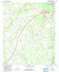
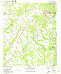
1979 Map of Cordova
USGS Topo · Published 1991About this map
The N Fork Edisto River defines the northern and eastern reaches of this Orangeburg County landscape, where the town of Cordova serves as a central hub between the river and the Seaboard Coast Line railroad. This 1970s survey reveals a deeply religious and communal geography, marked by a high density of country churches such as Jerusalem Ch, Ebenezer Ch, and St George Ch that anchor the surrounding rural tracts. The presence of the Orangeburg Nat Fish Hatchery near Highland Park and the specialized Edisto High Sch indicates a region balancing agricultural tradition with federal and educational infrastructure.
Find a feature on this map
50 named features on this map. Tap any name to fly to it.
Don’t see what you’re looking for? This feature index may not catch every label — zoom into the map to look around manually.
Map Details
Editions of this 1979 Cordova Map
2 editions found
Other maps of this area

1919 · Bamberg
USGS Topo · 1:48,000

1920 · Bamberg
USGS Topo · 1:62,500

1920 · Orangeburg
USGS Topo · 1:48,000

1921 · Orangeburg
USGS Topo · 1:62,500

1943 · Bamberg
USGS Topo · 1:62,500

1943 · Orangeburg
USGS Topo · 1:125,000

1943 · Orangeburg
USGS Topo · 1:62,500

1946 · Woodford
USGS Topo · 1:62,500

1946 · St. Matthews
USGS Topo · 1:62,500

1954 · Augusta
USGS Topo · 1:250,000