
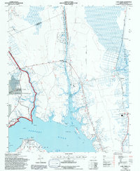
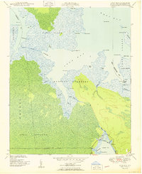
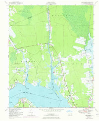
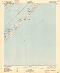
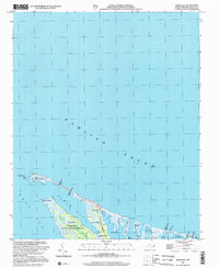
1994 Map of Core Creek
USGS Topo · Published 1997This historical map portrays the area of Core Creek in 1994, primarily covering Carteret County as well as portions of Craven County. Featuring a scale of 1:24000, this map provides a highly detailed snapshot of the terrain, roads, buildings, counties, and historical landmarks in the Core Creek region at the time. Published in 1997, it is one of 2 known editions of this map due to revisions or reprints.
Find a feature on this map
48 named features on this map. Tap any name to fly to it.
Don’t see what you’re looking for? This feature index may not catch every label — zoom into the map to look around manually.
Map Details
Editions of this 1994 Core Creek Map
2 editions found
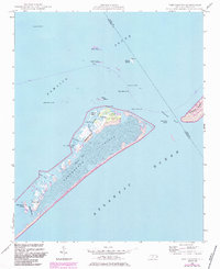
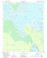
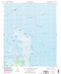
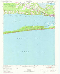
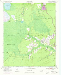
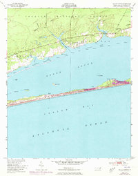
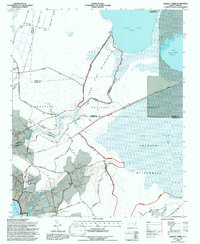
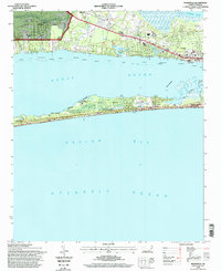
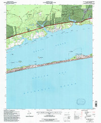
Historical Maps of Crab Point Village Through Time
31 maps found

1948 North Bay
Carteret County, NC
1948 Portsmouth
Carteret County, NC

1949 Core Creek
Carteret County, NC
1949 Long Bay
Carteret County, NC

1949 Mansfield
Carteret County, NC

1949 Masontown
Carteret County, NC
1949 Point Of Marsh
Carteret County, NC

1949 Salter Path
Carteret County, NC

1949 South River
Carteret County, NC
1949 Styron Bay
Carteret County, NC

1949 Williston
Carteret County, NC

1950 Horsepen Point
Carteret County, NC
1950 Long Bay
Carteret County, NC

1950 North Bay
Carteret County, NC

1950 Point Of Marsh
Carteret County, NC
1950 Portsmouth
Carteret County, NC

1950 South River
Carteret County, NC
1951 Cape Lookout
Carteret County, NC
1951 Core Creek
Carteret County, NC
1951 Mansfield
Carteret County, NC
1951 Masontown
Carteret County, NC
1951 Salter Path
Carteret County, NC
1951 Styron Bay
Carteret County, NC

1951 Williston
Carteret County, NC

1984 Hadnot Creek
Carteret County, NC
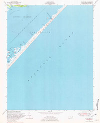
1994 Core Creek
Carteret County, NC
1994 Hadnot Creek
Carteret County, NC
1994 Mansfield
Carteret County, NC

1994 Masontown
Carteret County, NC
1994 Salter Path
Carteret County, NC
2002 North Bay
Carteret County, NC