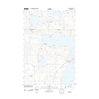
2013 Map of Cormorant
USGS Topo · Published 2013About this map
The boundary between Becker Co and Otter Tail Co bisects a landscape defined by an intricate network of glacial lakes and recreational settlements in western Minnesota. Central to this topography is Big Cormorant Lake, with the community of Cormorant situated just south of its northern shore near the Cormorant Lutheran Cem. To the south, the terrain descends toward Lake Lizzie and the settlement of Dunvilla, connected by the winding path of the Pelican River.
Find a feature on this map
72 named features on this map. Tap any name to fly to it.
Don’t see what you’re looking for? This feature index may not catch every label — zoom into the map to look around manually.
Map Details
Editions of this 2013 Cormorant Map
This is the sole edition of this map. No revisions or reprints were ever made.
Other maps of this area

1912 · Vergas
USGS Topo · 1:62,500

1914 · Pelican Rapids
USGS Topo · 1:62,500

1915 · Vergas
USGS Topo · 1:62,500

1917 · Pelican Rapids
USGS Topo · 1:62,500

1953 · Fargo
USGS Topo · 1:250,000

1953 · Brainerd
USGS Topo · 1:250,000

1956 · Fargo
USGS Topo · 1:250,000

1957 · Brainerd
USGS Topo · 1:250,000

1958 · Brainerd
USGS Topo · 1:250,000
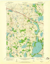
1959 · Audubon
USGS Topo · 1:24,000