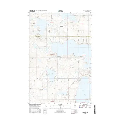
2016 Map of Cormorant
USGS Topo · Published 2016About this map
Glacial lakes and complex shorelines dominate this landscape on the border of Becker and Otter Tail counties. The small settlement of Cormorant serves as a central hub north of the county line, while Dunvilla sits further south near the eastern edge of Lake Lizzie. The terrain is defined by a dense network of water bodies, including the wide reaches of Big Cormorant Lake and its smaller counterpart Pick Lake, connected by minor drainage like Spring Creek.
Find a feature on this map
96 named features on this map. Tap any name to fly to it.
Don’t see what you’re looking for? This feature index may not catch every label — zoom into the map to look around manually.
Map Details
Editions of this 2016 Cormorant Map
This is the sole edition of this map. No revisions or reprints were ever made.
Other maps of this area

1912 · Vergas
USGS Topo · 1:62,500

1914 · Pelican Rapids
USGS Topo · 1:62,500

1915 · Vergas
USGS Topo · 1:62,500

1917 · Pelican Rapids
USGS Topo · 1:62,500

1953 · Fargo
USGS Topo · 1:250,000

1953 · Brainerd
USGS Topo · 1:250,000

1956 · Fargo
USGS Topo · 1:250,000

1957 · Brainerd
USGS Topo · 1:250,000

1958 · Brainerd
USGS Topo · 1:250,000
1959 · Audubon
USGS Topo · 1:24,000