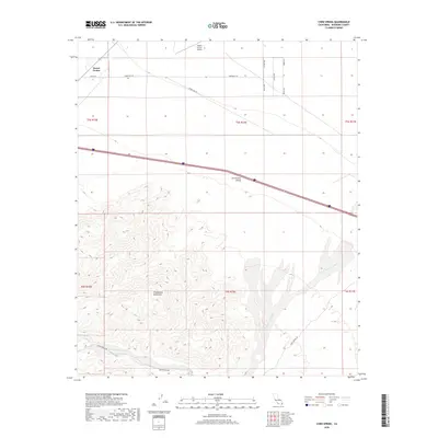
2018 Map of Corn Spring
USGS Topo · Published 2018About this map
Desert Center anchors the northern reaches of this Colorado Desert landscape, where the Desert Center Airport and several residential streets such as Comanche Trl and Orion Rd mark the limited human footprint. To the south, the topography transitions abruptly from the level expanse of the Chuckwalla Valley into the steep, complex drainage systems of the Chuckwalla Mountains.
Find a feature on this map
21 named features on this map. Tap any name to fly to it.
Don’t see what you’re looking for? This feature index may not catch every label — zoom into the map to look around manually.
Map Details
Editions of this 2018 Corn Spring Map
This is the sole edition of this map. No revisions or reprints were ever made.
Other maps of this area

1943 · Coxcomb Mountains
USGS Topo · 1:62,500

1944 · Chuckwalla Mountains
USGS Topo · 1:62,500

1944 · Coxcomb Mountains
USGS Topo · 1:62,500

1952 · Sidewinder Well
USGS Topo · 1:62,500

1952 · Palen Mountains
USGS Topo · 1:62,500

1954 · Salton Sea
USGS Topo · 1:250,000

1955 · Salton Sea
USGS Topo · 1:250,000

1959 · Salton Sea
USGS Topo · 1:250,000

1963 · Salton Sea
USGS Topo · 1:250,000

1963 · Chuckwalla Mountains
USGS Topo · 1:62,500