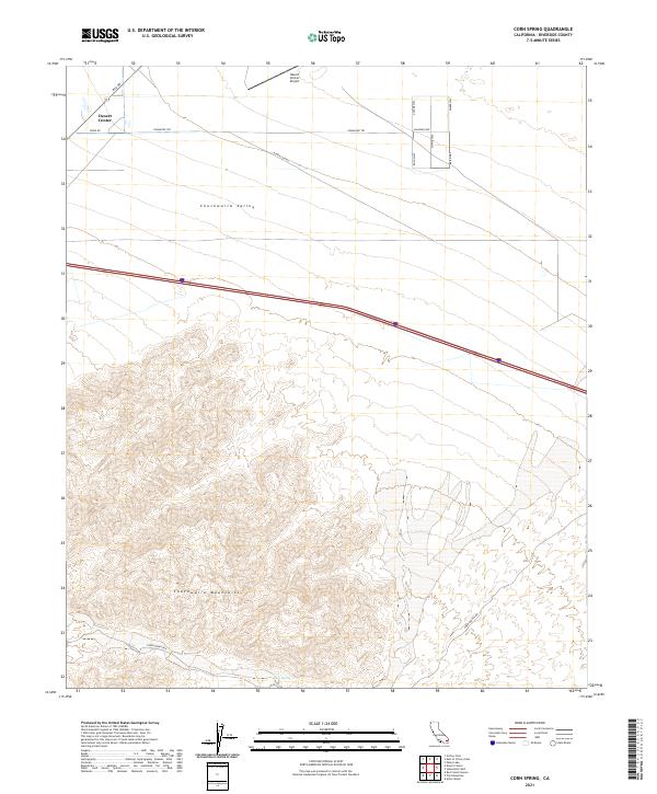
2021 Map of Corn Spring
USGS Topo · Published 2021About this map
Desert Center anchors the northern portion of this Riverside County landscape, where the flat expanse of the Chuckwalla Valley meets the sharp rising contours of the Chuckwalla Mountains. The local economy and infrastructure are defined by the Desert Center Airport and a grid of residential and utility roads including Orion Rd and Power Line Rd. This modern topographical study illustrates a classic California desert transit hub, centered on the intersection of Rice Rd and the interstate corridor. To the south, the terrain becomes increasingly complex as it ascends toward the peak of the range, accessed by the winding Corn Springs Rd. This route leads deep into the mountains to Corn Spring, a vital water source that has historically influenced the settlement and movement patterns of the region.
Find a feature on this map
22 named features on this map. Tap any name to fly to it.
Don’t see what you’re looking for? This feature index may not catch every label — zoom into the map to look around manually.
Map Details
Editions of this 2021 Corn Spring Map
This is the sole edition of this map. No revisions or reprints were ever made.
Other maps of this area

1943 · Coxcomb Mountains
USGS Topo · 1:62,500

1944 · Chuckwalla Mountains
USGS Topo · 1:62,500

1944 · Coxcomb Mountains
USGS Topo · 1:62,500

1952 · Sidewinder Well
USGS Topo · 1:62,500

1952 · Palen Mountains
USGS Topo · 1:62,500

1954 · Salton Sea
USGS Topo · 1:250,000

1955 · Salton Sea
USGS Topo · 1:250,000

1959 · Salton Sea
USGS Topo · 1:250,000

1963 · Salton Sea
USGS Topo · 1:250,000

1963 · Chuckwalla Mountains
USGS Topo · 1:62,500