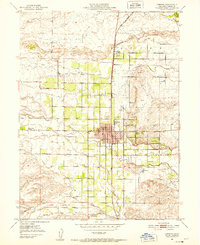
1951 Map of Corning
USGS Topo · Published 1952About this map
The agricultural landscape of Tehama County unfolds along the Southern Pacific rail line, centered on the growing town of Corning. By the early 1950s, the area shows a distinct grid of orchard roads and irrigation features, with prominent watercourses like Thomes Creek and Jewett Creek cutting through the level valley floor. This survey documents the mid-century infrastructure of the northern Sacramento Valley, including the Municipal Airport and its associated Airway Beacon, which served as critical navigation aids for the era's aviators.
Find a feature on this map
32 named features on this map. Tap any name to fly to it.
Don’t see what you’re looking for? This feature index may not catch every label — zoom into the map to look around manually.
Map Details
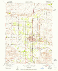
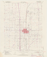
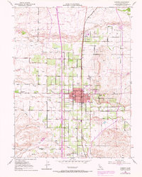
Editions of this 1951 Corning Map
4 editions found
Other maps of this area

1890 · Red Bluff
USGS Topo · 1:250,000

1894 · Red Bluff
USGS Topo · 1:250,000

1904 · Vina
USGS Topo · 1:62,500

1905 · Tehama
USGS Topo · 1:62,500

1914 · Kirkwood
USGS Topo · 1:31,680

1914 · McIntosh Landing
USGS Topo · 1:31,680

1944 · Flournoy
USGS Topo · 1:62,500
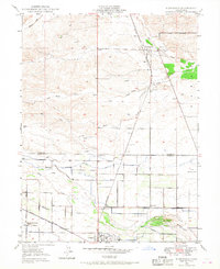
1949 · Kirkwood
USGS Topo · 1:24,000
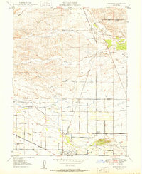
1950 · Kirkwood
USGS Topo · 1:24,000
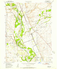
1950 · Vina
USGS Topo · 1:24,000