Loading...
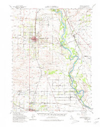
Loading map...1951 Map of Corning
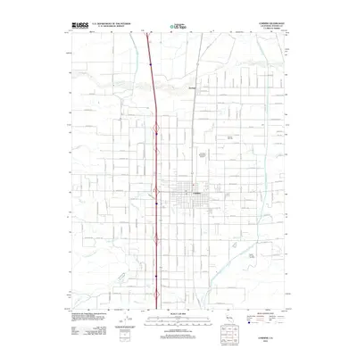
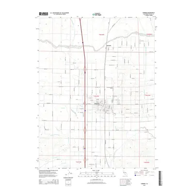
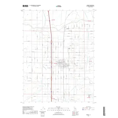
USGS Topo · Published 1970About this map
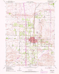
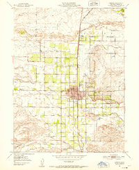
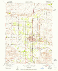
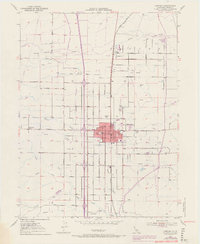
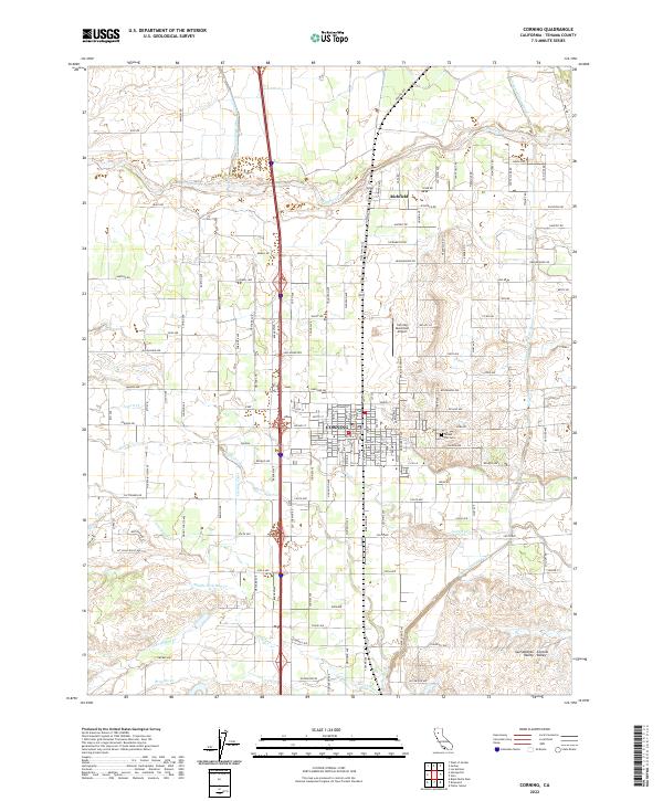
Corning sits at the center of this agricultural landscape in the Sacramento Valley, defined by a rigid grid of country roads and orchards. The Southern Pacific railroad runs north-south through the heart of town and the neighboring settlement of Richfield, providing a critical transit corridor for the region's produce. The terrain is crisscrossed by several waterways, including Thomes Creek and Burch Creek, which transition from the rising hills in the west toward the valley floor.
Find a feature on this map
26 named features on this map. Tap any name to fly to it.
Don’t see what you’re looking for? This feature index may not catch every label — zoom into the map to look around manually.
Map Details
Date Portrayed1951
Date Published1970
PublisherU.S. Geological Survey
Map TypeTopographic
Scale1:24,000
Physical Dimensions21.5 x 26.9 inches
Editions of this 1951 Corning Map
4 editions found
Historical Maps of Corning Through Time
6 maps found
Featured Locations
Source Details
SourceU.S. Geological Survey
CopyrightPublic Domain