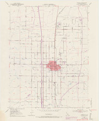
1951 Map of Corning
USGS Topo · Published 1970About this map
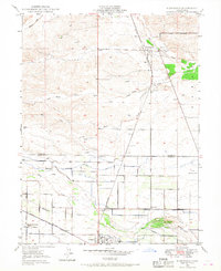
Corning and the neighboring settlement of Richfield anchor this 1951 topographic study, which illustrates a landscape transitioning through agricultural and industrial growth in Tehama County. The Southern Pacific railroad corridor serves as the primary backbone for the region, paralleling the dense grid of olive groves and orchards that define the local economy. The mapping of the Corning Gas Field and South Corning Gas Field reveals the significant energy footprint underlying the valley floor during the mid-century. Hydrological patterns are defined by the winding paths of Thomes Creek and Jewett Creek, while civic life is marked by the Independent School and the Municipal Airport. Updated with 1969 photorevisions, the map captures the expansion of the urban core of Corning and the development of the interstate corridor, providing a precise record of land use before further modern suburbanization.
Find a feature on this map
36 named features on this map. Tap any name to fly to it.
Don’t see what you’re looking for? This feature index may not catch every label — zoom into the map to look around manually.
Map Details
Editions of this 1951 Corning Map
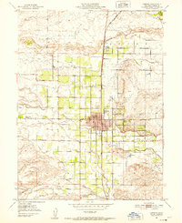
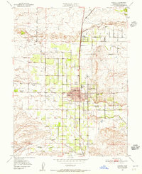
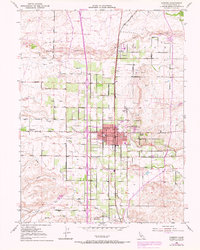
4 editions found
Other maps of this area

1890 · Red Bluff
USGS Topo · 1:250,000

1894 · Red Bluff
USGS Topo · 1:250,000

1904 · Vina
USGS Topo · 1:62,500

1905 · Tehama
USGS Topo · 1:62,500

1914 · Kirkwood
USGS Topo · 1:31,680

1914 · McIntosh Landing
USGS Topo · 1:31,680

1944 · Flournoy
USGS Topo · 1:62,500
1949 · Kirkwood
USGS Topo · 1:24,000
1950 · Kirkwood
USGS Topo · 1:24,000
1950 · Vina
USGS Topo · 1:24,000