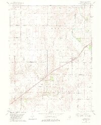
1982 Map of Cornland
USGS Topo · Published 1983About this map
Buffalo Hart and Cornland serve as the primary focal points of this central Illinois landscape, straddling the border between Logan and Sangamon Counties. The area is defined by its deep agricultural roots and the infrastructure of the Illinois Central Gulf railroad, which cuts a diagonal path through the prairie. Water management is evident along the Lake Fork, where a Gaging Station monitors the drainage of the surrounding townships. For those researching local family history, several small burial grounds are documented, including Turley Cem in the northeast and Township Cem to the south. The presence of the Buffalo Hart Ch near the village center highlights the traditional community structure of the late 1970s and early 1980s, while the detailed marking of fence and field lines provides a rare look at the exact parceling of farmland during this era.
Find a feature on this map
15 named features on this map. Tap any name to fly to it.
Don’t see what you’re looking for? This feature index may not catch every label — zoom into the map to look around manually.
Map Details
Editions of this 1982 Cornland Map
2 editions found
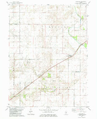
Other maps of this area

1907 · Springfield
USGS Topo · 1:62,500

1911 · Lincoln
USGS Topo · 1:62,500

1913 · Lincoln
USGS Topo · 1:62,500

1930 · Springfield
USGS Topo · 1:62,500

1940 · Springfield
USGS Topo · 1:62,500

1948 · Mason City
USGS Topo · 1:62,500

1949 · Mason City
USGS Topo · 1:62,500

1950 · Springfield East
USGS Topo · 1:24,000

1954 · Mechanicsburg
USGS Topo · 1:62,500

1958 · Peoria
USGS Topo · 1:250,000