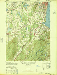
1947 Map of Cornwall
USGS Topo · Published 1947About this map
Stewart Field Military Reservation and the sprawling aviation grounds of Stewart AAF dominate the northwestern landscape of this post-war Orange County study. The region is defined by a busy transit network, where the Erie Railroad and New York Ontario and Western RR intersect near Vails Gate Junction, serving industrial hubs like Firthcliffe and Salisbury Mills. This period captures the transition of the Hudson River shoreline near New Windsor and Cornwall, shortly after aerial photography from the Army Air Force updated the topographic detail.
Find a feature on this map
54 named features on this map. Tap any name to fly to it.
Don’t see what you’re looking for? This feature index may not catch every label — zoom into the map to look around manually.
Map Details
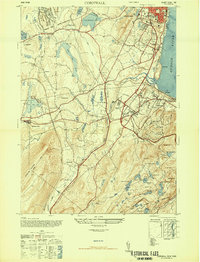
Editions of this 1947 Cornwall Map
2 editions found
Other maps of this area

1892 · West Point
USGS Topo · 1:62,500

1893 · Poughkeepsie
USGS Topo · 1:62,500

1894 · West Point
USGS Topo · 1:62,500

1894 · Poughkeepsie
USGS Topo · 1:62,500

1899 · West Point
USGS Topo · 1:62,500

1901 · West Point
USGS Topo · 1:62,500

1902 · Schunemunk
USGS Topo · 1:62,500

1903 · Poughkeepsie
USGS Topo · 1:62,500

1903 · Newburg
USGS Topo · 1:62,500

1930 · Schunemunk
USGS Topo · 1:48,000