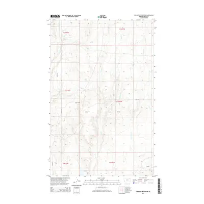
2014 Map of Cornwell Reservoir
USGS Topo · Published 2014About this map
Cornwell Reservoir serves as a vital water source in this dry stretch of Valley County, Montana. The landscape is defined by its drainage patterns and seasonal water points, which are essential for livestock and local land use. Local roads such as Cornwell Rd and trails like Jensen Trl provide the primary access through this rangeland, connecting the various coulees and spring-fed points. Notable terrain features including Alkali Coulee, Wire Grass Coulee, and Mooney Coulee reveal the natural topography and erosion patterns of the region. Scattered water sources such as Alkali Spring, Beaten Spring, and Hunt Spring suggest the importance of dependable water for survival and commerce in this northern plains environment, while Wolf Cr and Cherry Cr frame the wider drainage basin.
Find a feature on this map
23 named features on this map. Tap any name to fly to it.
Don’t see what you’re looking for? This feature index may not catch every label — zoom into the map to look around manually.
Map Details
Editions of this 2014 Cornwell Reservoir Map
This is the sole edition of this map. No revisions or reprints were ever made.
Other maps of this area

1919 · Boundary
USGS Topo · 1:125,000

1943 · Glasgow
USGS Topo · 1:125,000

1954 · Glasgow
USGS Topo · 1:250,000

1957 · Glasgow
USGS Topo · 1:250,000

1958 · Glasgow
USGS Topo · 1:250,000

1969 · Cornwell Reservoir
USGS Topo · 1:24,000

1969 · Chapman Coulee NE
USGS Topo · 1:24,000
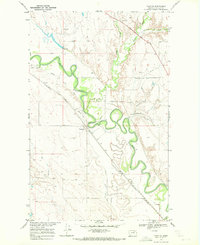
1969 · Tampico
USGS Topo · 1:24,000
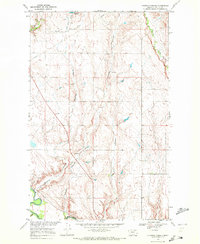
1969 · Chapman Coulee
USGS Topo · 1:24,000
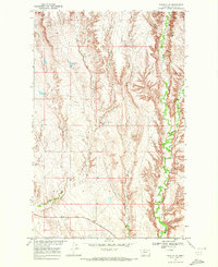
1969 · Tampico NE
USGS Topo · 1:24,000