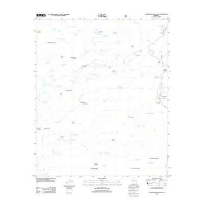
2011 Map of Coronado Mountain
USGS Topo · Published 2011About this map
Granville stands as a primary point of interest in this high-elevation landscape, situated near the Granville Campground and the Cherry Lodge Picnic Area. The terrain is characterized by a network of ranching infrastructure, including several family-named or descriptive corrals such as Butcher Knife Corral, Wagon Corral, and Sawmill Corral, which reflect the area's agricultural use. Resource extraction is represented by the Santa Rosa Mine located on the slopes of Santa Rosa Mountain.
Find a feature on this map
108 named features on this map. Tap any name to fly to it.
Don’t see what you’re looking for? This feature index may not catch every label — zoom into the map to look around manually.
Map Details
Editions of this 2011 Coronado Mountain Map
This is the sole edition of this map. No revisions or reprints were ever made.
Other maps of this area

1902 · Clifton
USGS Topo · 1:62,500

1913 · Morenci
USGS Topo · 1:125,000

1915 · Morenci
USGS Topo · 1:125,000

1954 · Clifton
USGS Topo · 1:250,000

1957 · Clifton
USGS Topo · 1:250,000

1958 · Clifton
USGS Topo · 1:250,000

1962 · Clifton
USGS Topo · 1:250,000

1962 · Clifton
USGS Topo · 1:62,500

1962 · Bryce Mountain
USGS Topo · 1:62,500
1967 · Bee Canyon
USGS Topo · 1:24,000