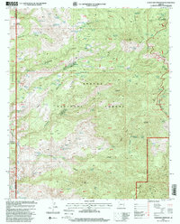
1997 Map of Coronado Mountain
USGS Topo · Published 2000About this map
Apache National Forest dominates this landscape, where the rugged topography of Coronado Ridge and Enebro Mountain meets the eastern boundary of the San Carlos Indian Reservation. The map records a complex network of ranching infrastructure and water management, essential for life in this arid environment. Key sites include Deerhead Ranch and Tule Ranch, supported by numerous specialized water sources such as Benchmark Guzzler Tank #1, Rattlesnake Tank, and Lower Butcherknife Spring.
Find a feature on this map
124 named features on this map. Tap any name to fly to it.
Don’t see what you’re looking for? This feature index may not catch every label — zoom into the map to look around manually.
Map Details
Editions of this 1997 Coronado Mountain Map
This is the sole edition of this map. No revisions or reprints were ever made.
Other maps of this area

1902 · Clifton
USGS Topo · 1:62,500

1913 · Morenci
USGS Topo · 1:125,000

1915 · Morenci
USGS Topo · 1:125,000

1954 · Clifton
USGS Topo · 1:250,000

1957 · Clifton
USGS Topo · 1:250,000

1958 · Clifton
USGS Topo · 1:250,000

1962 · Clifton
USGS Topo · 1:250,000

1962 · Clifton
USGS Topo · 1:62,500

1962 · Bryce Mountain
USGS Topo · 1:62,500
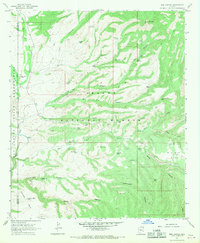
1967 · Bee Canyon
USGS Topo · 1:24,000