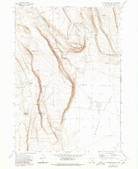
1971 Map of Corporation Rim
USGS Topo · Published 1980About this map
Corporation Rim dominates this high-desert topography of Harney County, dropping sharply into the eastern expanse of the Warner Valley. This era of the landscape is defined by the vital management of water in an arid environment, evidenced by the numerous catchment features like North Desert Waterhole, Barney Waterhole, and Knob Reservoir. The naming conventions found here—Bacon Camp and Lower Bacon Camp—suggest the seasonal patterns of land use and livestock movement across the high plateau. To the north, the terrain is cut by drainage features such as Bacon Camp Draw and Lynch Gulch, while distinctive volcanic or erosional landforms like Three Story Rim and the Black Cap summit provide clear navigational landmarks. The map also traces a network of Jeep Trails that connect these remote water sources and camps across the rimrock.
Find a feature on this map
18 named features on this map. Tap any name to fly to it.
Don’t see what you’re looking for? This feature index may not catch every label — zoom into the map to look around manually.
Map Details
Editions of this 1971 Corporation Rim Map
2 editions found
Other maps of this area

1955 · Adel
USGS Topo · 1:250,000

1957 · Adel
USGS Topo · 1:250,000

1958 · Adel
USGS Topo · 1:250,000

1962 · Adel
USGS Topo · 1:250,000

1966 · Bluejoint Lake East
USGS Topo · 1:24,000

1966 · Rabbit Hills NE
USGS Topo · 1:24,000

1967 · Bluejoint Lake West
USGS Topo · 1:24,000

1971 · Steamboat Point
USGS Topo · 1:24,000

1971 · Rock Camp Draw
USGS Topo · 1:24,000
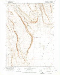
1971 · Corporation Rim
USGS Topo · 1:24,000