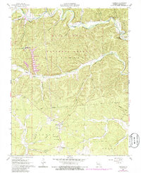
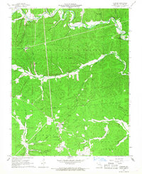
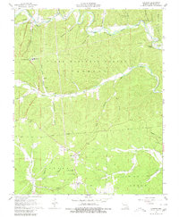
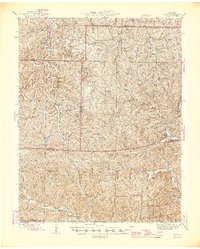
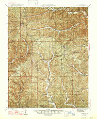
1967 Map of Corridon
USGS Topo · Published 1985About this map
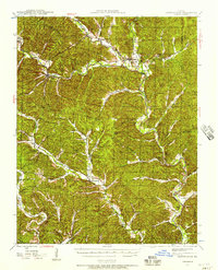
Reynolds and Corridon anchor this 1960s study of the Missouri Ozarks, a landscape deeply shaped by mining and timber within the Mark Twain National Forest. The presence of the Fletcher Mine and its associated Tailings Pond highlights the industrial character of the era, while the Charcoal Ovens near Reynolds point to localized resource processing. Transportation in this dissected terrain relied on small airstrips like the West Fork Landing Strip and Fletcher Landing Strip.
Find a feature on this map
44 named features on this map. Tap any name to fly to it.
Don’t see what you’re looking for? This feature index may not catch every label — zoom into the map to look around manually.
Map Details
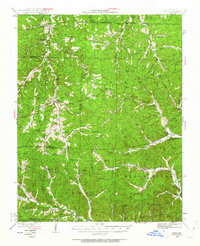
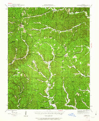
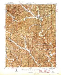
Editions of this 1967 Corridon Map
3 editions found
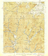
Other maps of this area

1924 · Edgehill
USGS Topo · 1:62,500
1926 · Edgehill
USGS Topo · 1:62,500
1943 · Lesterville
USGS Topo · 1:62,500
1943 · Boss
USGS Topo · 1:62,500
1944 · Corridon
USGS Topo · 1:62,500
1946 · Lesterville
USGS Topo · 1:62,500
1946 · Boss
USGS Topo · 1:62,500
1947 · Corridon
USGS Topo · 1:62,500

1949 · Rolla
USGS Topo · 1:250,000

1953 · Rolla
USGS Topo · 1:250,000